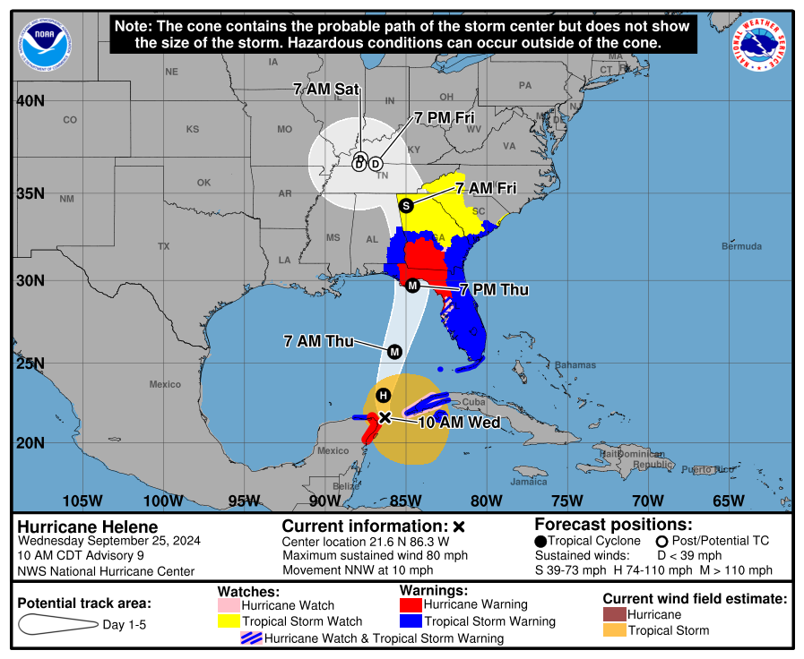
When a swirling system shows up on the weather map, the label attached to it can sound like a vibe check. Depression feels mild, storm feels serious, and hurricane sounds like it belongs on a plywood-and-batteries checklist.
But these terms are not vibes. They are definitions, and the key ingredient is surprisingly simple: maximum sustained wind speed.
The key measurement
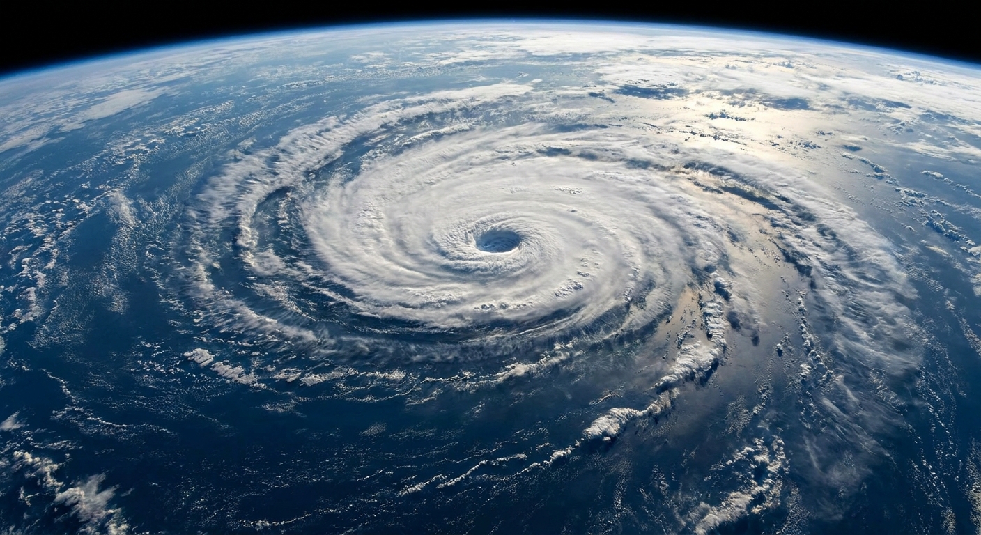
Meteorologists classify these systems using maximum sustained winds, which means the highest average wind speed measured over a standard averaging period. In the Atlantic and eastern Pacific, the standard is typically a 1-minute average. That matters because gusts can spike much higher, but classification is based on sustained winds, not brief bursts.
Here are the thresholds, using both miles per hour (mph) and knots (kt), since advisories commonly use knots.
- Tropical depression: maximum sustained winds of 38 mph (33 kt) or less
- Tropical storm: maximum sustained winds of 39 to 73 mph (34 to 63 kt)
- Hurricane: maximum sustained winds of 74 mph (64 kt) or higher
If you want a classroom-style memory hook: 39 mph is the “storm” line, and 74 mph is the “hurricane” line.
When storms get names
A system receives an official name when it becomes a tropical storm, meaning it reaches maximum sustained winds of at least 39 mph (34 kt).
Before that point, a tropical depression is typically identified by a number (for example, “Tropical Depression Two”). Once it strengthens into a tropical storm, it’s assigned the next name from the seasonal list.
What changes at each threshold?
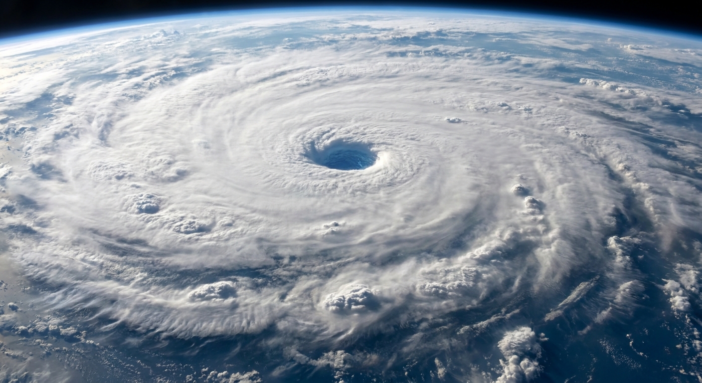
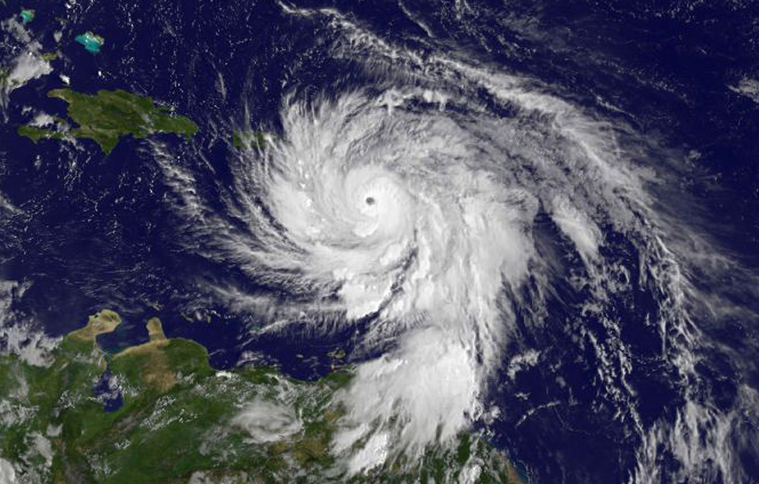
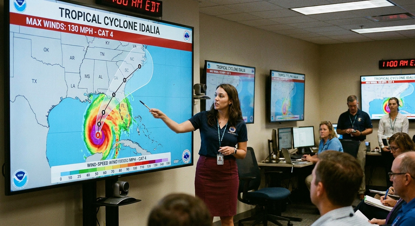
Wind speed is the official divider, but it is also a decent proxy for what forecasters are seeing physically: a more organized, more intense circulation that can sustain stronger winds around its core.
Tropical depression
Think: an organized cluster of thunderstorms with a defined circulation, but relatively modest sustained winds. Depressions can still dump heavy rain, especially if they move slowly or interact with other weather systems.
Tropical storm
At this point, winds are strong enough that impacts can expand quickly, especially near the coast and in squalls. This is also when the system is named, which is less about drama and more about clear communication. It’s much easier for the public and emergency management to track “Tropical Storm Erika” than “that low-pressure system near 23.5°N, 71.2°W.”
Hurricane
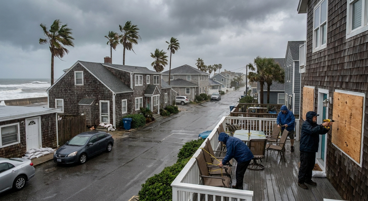
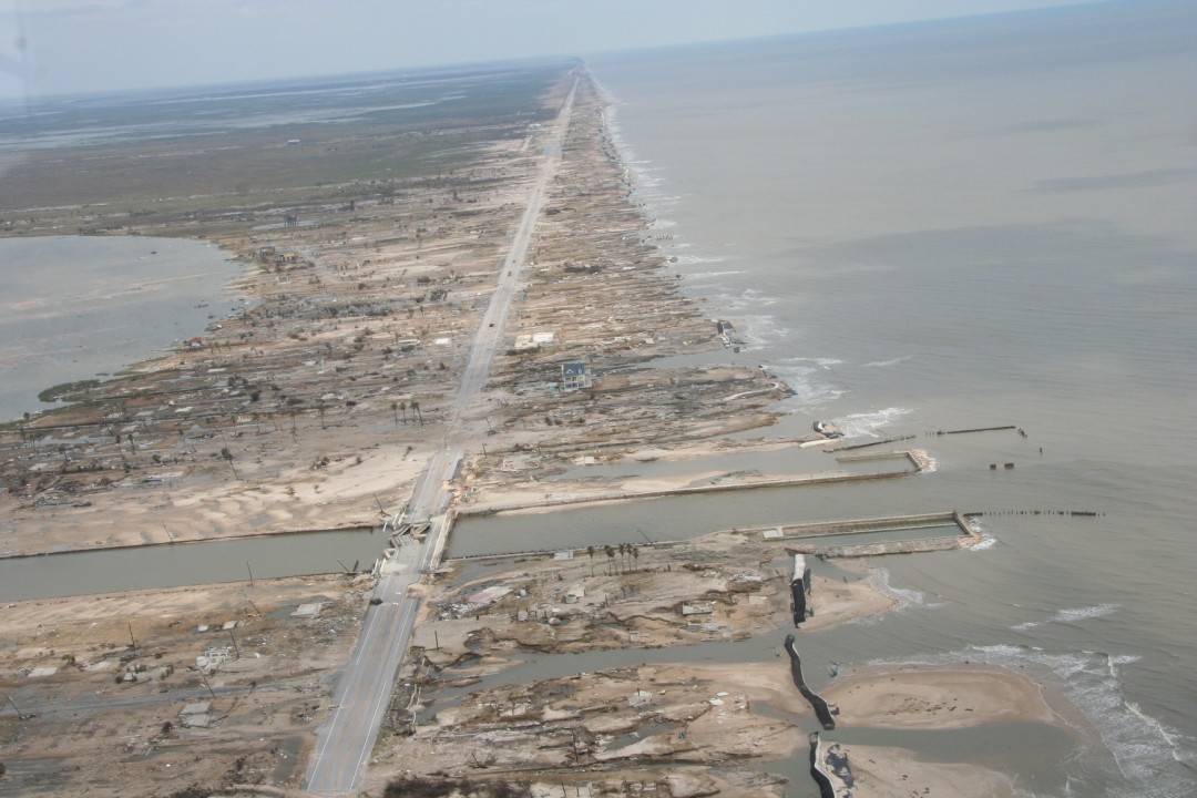
Crossing 74 mph is a big deal. Sustained winds at this level can begin to cause structural damage, down trees, and drive dangerous conditions at the coastline. And importantly, wind is just one hazard. Rainfall flooding and coastal surge can be severe even when winds are not at their peak.
Common questions
Is a tropical depression “not dangerous”?
No. The label only tells you where the sustained wind sits relative to those thresholds. A tropical depression can still produce flooding rain, rough surf, and localized tornado risk, depending on the setup.
What about gusts?
Gusts are real and can be damaging, but classification uses maximum sustained winds. Gusts are often higher than sustained winds, especially in squalls and near the eyewall in stronger systems.
If it weakens, does it lose its name?
No. Once a system is named, it keeps that name for its lifetime, even if it weakens below tropical-storm strength. In other words, it can become “Tropical Depression Erika,” but it does not revert to being “Tropical Depression Two.” Its official classification changes with the winds, but the name stays for continuity.
Where do these wind numbers come from?
Forecasters combine multiple tools: satellite estimates, aircraft reconnaissance where available, buoy and ship observations, coastal radar, and surface stations. The goal is to estimate the highest sustained winds anywhere in the storm at that advisory time.
Quick recap
- Depression: ≤ 38 mph sustained winds
- Storm: 39 to 73 mph sustained winds, and this is when it gets a name
- Hurricane: ≥ 74 mph sustained winds
If you remember just two numbers, make them 39 and 74. Everything else is weather details and, unfortunately, sometimes the hard part: what those winds and rains will do where you live.