I used to teach physics, and every year someone would ask a version of this: “If it is Category 3, does that tell me how bad it will be?” The honest answer is: it tells you one important thing really well, and several other important things not at all.
The Saffir-Simpson Hurricane Wind Scale is a wind-only rating system. It groups hurricanes into Categories 1 through 5 using the storm’s maximum sustained wind. That wind is defined as a 1-minute average at 10 meters (33 feet) above the surface over open exposure. In practice, that number is an operational estimate built from multiple observations, including aircraft data, satellites, buoys, dropsondes, and surface stations.
It is a helpful shorthand for wind damage potential, but it does not directly encode storm surge, rainfall flooding, tornado risk, how fast the storm moves, or who and what is in its path.
What the scale measures
Maximum sustained wind is the key phrase. “Maximum” means the strongest winds anywhere in the storm, typically near the eyewall. “Sustained” means averaged over time, not the peak gusts that make trees thrash and doors rattle.
Here is the quick but important distinction: the category is based on sustained wind, not gusts. Gusts can be significantly higher and can drive damage, but they do not set the category.
So if you hear “Category 2 hurricane,” that is based on the storm’s strongest 1-minute sustained wind, not the winds at your house, not the wind gusts, and not the total energy of the system.
Category thresholds (mph and km/h)
- Category 1: 74 to 95 mph (119 to 153 km/h)
- Category 2: 96 to 110 mph (154 to 177 km/h)
- Category 3: 111 to 129 mph (178 to 208 km/h)
- Category 4: 130 to 156 mph (209 to 251 km/h)
- Category 5: 157+ mph (252+ km/h)
Categories 3, 4, and 5 are often called major hurricanes because wind damage becomes much more likely to include significant structural impacts, long power outages, and dangerous debris.
What the scale leaves out
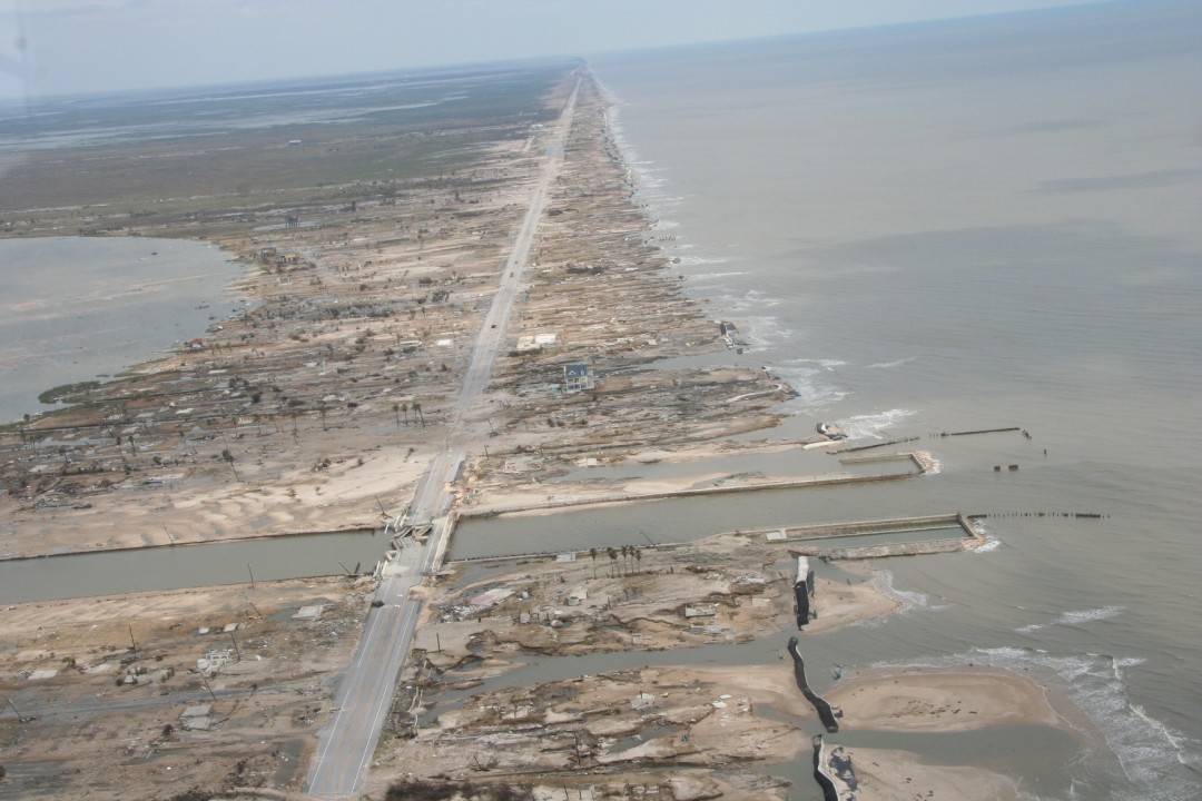
If you take one thing from this page, make it this: hurricane category is not a full hazard forecast. A hurricane’s most life-threatening impacts are often tied to water, and water is not part of the category.
Storm surge
Storm surge is seawater pushed inland by winds and shaped by coastal geography. Two storms with the same sustained winds can produce very different surge because surge depends heavily on:
- Size of the wind field, not just the peak wind
- Angle of approach to the shoreline
- Coastal shape, like bays, inlets, and barrier islands
- Seafloor slope near the coast
- Tide level when the storm arrives
That is why warnings often emphasize surge separately from category. A Category 1 with the right geometry can create a truly dangerous coastal flood situation.
Rainfall and inland flooding
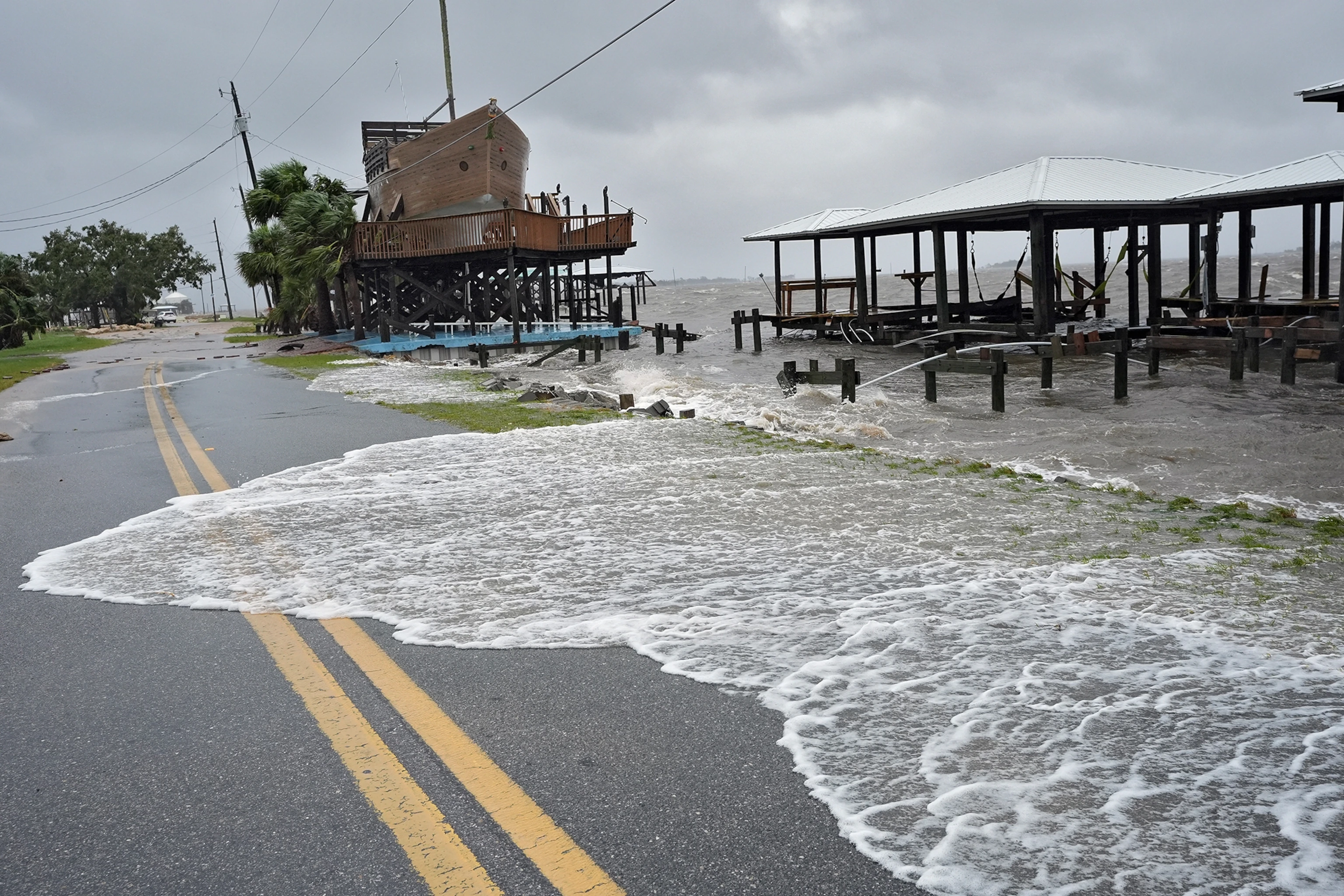
Rainfall is driven by how much moisture the storm carries and how long it lingers, not simply its wind category. Slow movers and storms interacting with other weather systems can dump extraordinary rain totals far from the coast.
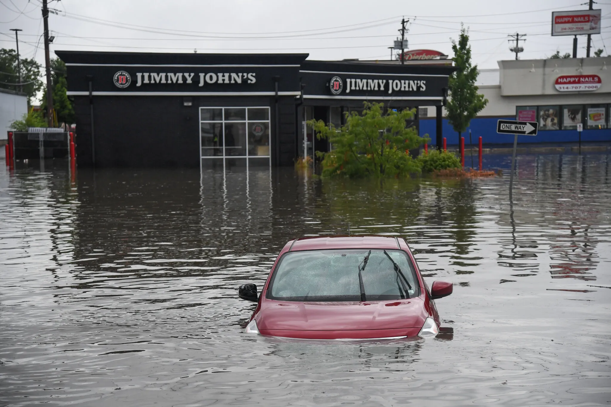
This is where the category can be especially misleading. A weakening storm can still be a flooding disaster, because rain does not stop just because peak winds drop below a category threshold. Even after landfall, when a system may be downgraded to a tropical storm or depression, it can continue producing dangerous, sometimes historic flooding.
Storm size
A compact hurricane with a tiny eyewall and a broad hurricane with tropical-storm-force winds extending hundreds of miles can share the same peak sustained wind. The larger storm can batter a much bigger area, produce broader coastal surge, and create more widespread power outages.
Duration and forward speed
Duration is about how long hazards last at your location, and forward speed is a big driver of that. A slower storm keeps strong winds over one place longer and can pile up more rain. A faster storm can still be destructive, but the soak time is different.
Tornadoes and severe thunderstorms
Hurricanes can spawn tornadoes, especially in outer rainbands, often at and after landfall, and frequently on the storm’s right-front side (in the Northern Hemisphere). This risk is not represented by the Saffir-Simpson category.
Why same-category storms vary
Think of the category as a single number pulled from a very complicated machine. It is valuable, but it is not the machine.
Same category, different local winds
The category uses the storm’s maximum sustained wind. But winds vary dramatically across the storm. If you are far from the eyewall, your sustained winds might be much lower than the headline category suggests. If you are near the eyewall, they might be very close.
Exposure matters
A Category 2 passing mostly over water and sparsely populated coastline is a different event than a Category 2 crossing dense urban infrastructure, older buildings, or heavily forested neighborhoods. The scale does not include:
- Building codes and construction quality
- Vegetation and debris availability
- Population density
- Critical infrastructure resilience
Geography can amplify water impacts
Coastlines are not flat bathtubs. A bay can funnel water. A shallow continental shelf can allow surge to build higher. A river basin can turn heavy rain into inland flooding days later. None of that is in the category.
Small wind changes can change the label
Because categories are threshold-based, a 110 mph storm is Category 2, and a 111 mph storm is Category 3. Physically, that is a small change, but socially it can sound like a big jump. Damage potential does increase with wind, but nature is not a set of neat bins.
How to read category well
When you see a category, use it as a starting point and then immediately ask: “What other hazards are expected where I live?” Here is a quick way to think about it.
What category is good for
- Estimating wind damage potential
- Understanding why stronger storms can mean more structural risk and more debris
- Putting “tropical storm” versus “major hurricane” in context
What to pair it with
- Storm Surge Watch and Storm Surge Warning information (in the U.S., often from the National Hurricane Center and local National Weather Service offices)
- Flood watches and warnings, plus local river forecasts (typically issued by National Weather Service forecast offices)
- Rainfall forecasts and flash flood guidance
- Wind field maps that show tropical-storm-force and hurricane-force wind extents
- Track and timing, including when conditions will deteriorate
- Local evacuation zones and emergency management guidance
Common questions
Is the scale based on gusts?
No. The category is based on maximum sustained wind (a 1-minute average). Gusts can be significantly higher and can drive damage, but gusts do not set the category.
Does the category tell you storm surge height?
No. While stronger winds can contribute to higher surge, storm surge depends on many factors, including storm size, coastal shape, and approach angle. That is why surge forecasts are issued separately.
Can a Category 1 be deadly?
Absolutely. Water hazards can be lethal at any category, and many dangerous outcomes involve surge, rip currents, rainfall flooding, or tornadoes. The category is not a safety score.
Why not include rain and surge in the category?
In principle, you could build a multi-factor scale, but the tradeoff is clarity. The Saffir-Simpson system is intentionally simple: one input, one output. Modern forecasting adds separate products for surge, rainfall, and flooding because those hazards vary independently of peak wind.
Is “Category 6” a thing?
No. The Saffir-Simpson scale stops at Category 5 (157+ mph). You may see informal chatter about a “Category 6,” but it is not an official classification.
The takeaway
The Saffir-Simpson scale is a clean ruler for one measurement: maximum sustained wind. It tells you how strong the storm’s peak winds are, and that matters for wind damage. But hurricanes are more like a whole toolbox of hazards. If you want a real sense of risk, read the category, then immediately check the surge and rainfall guidance for your exact location.
That is how you get the full story: wind plus water plus time, not just a number.