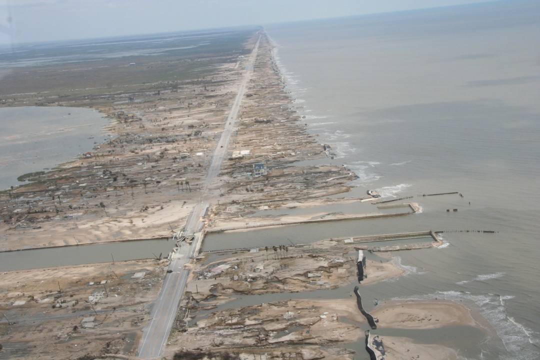
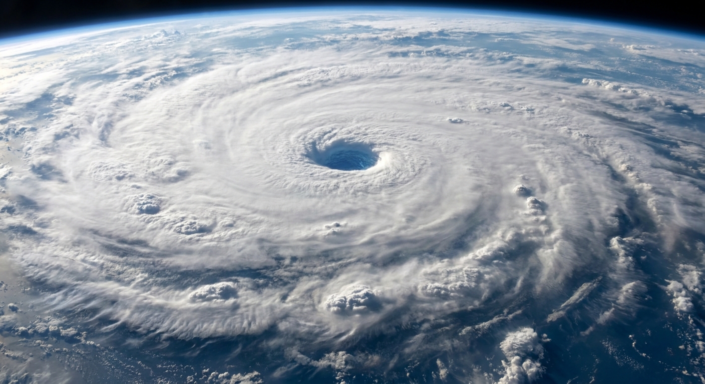
I used to tell my physics students that water is stubborn. It really wants to stay level. Storm surge is what happens when a powerful storm convinces the ocean to break that rule and pile up where it absolutely does not belong: streets, lawns, and living rooms.
Despite the name, storm surge is not a single wave. It is a rise in the average water level near the coast, lasting hours, sometimes longer. Add normal tides on top of that rise, and you get the water heights that show up as coastal flooding.
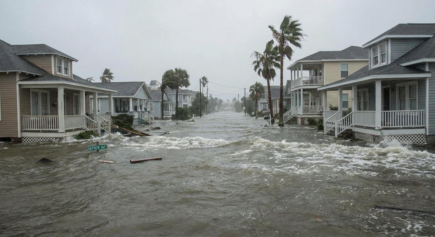
Storm surge, storm tide, and waves are different things
People often use “storm surge” as a catchall for any coastal mess during a hurricane or nor’easter. In science and forecasting, the pieces matter:
- Astronomical tide: The predictable rise and fall driven mostly by the Moon and Sun.
- Storm surge: The storm-driven water level rise above the normal predicted tide.
- Storm tide: The total water level you actually experience: tide + surge.
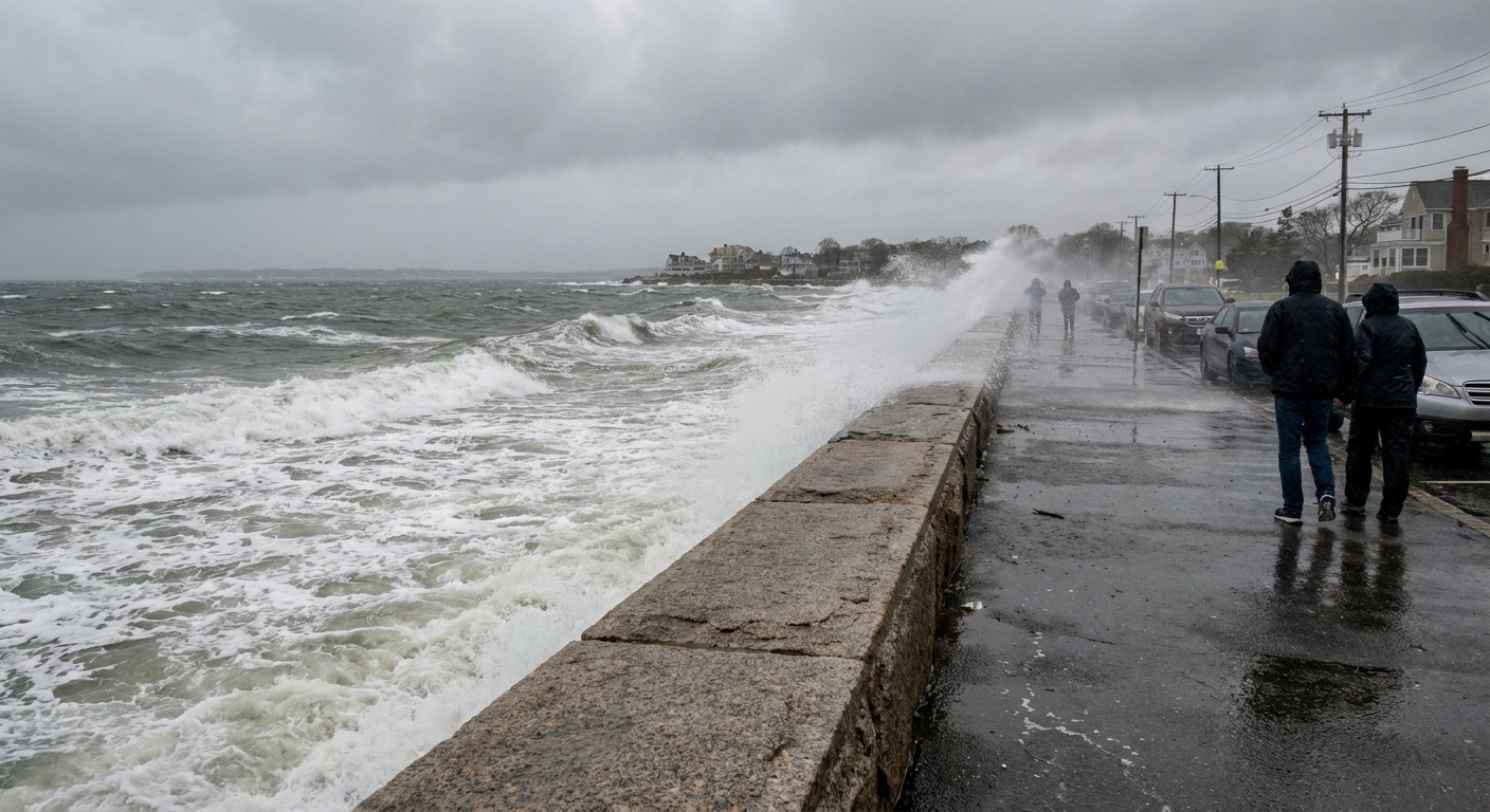
- Waves and wave runup: Waves ride on top of the storm tide and can throw water even higher, especially right at the shoreline.
A helpful mental picture is a moving walkway at an airport. The walkway height is the storm tide, the motor that lifts the walkway is the surge, and people hopping are the waves. If the walkway is already high because of the tide, those hops reach higher places.
The biggest driver: wind stress pushing water toward shore
Storm surge is mostly a story about wind dragging on the ocean surface. In physics terms, that drag is wind stress. Over the open ocean, wind can build waves. Near the coast, persistent strong winds can also move a whole mass of water.
As a cyclone approaches land in the Northern Hemisphere, the highest surge risk is often to the right of the storm’s track, where storm motion can add to the winds. But that does not automatically mean “onshore.” Coastline orientation and the angle of approach decide whether those stronger winds actually push water toward land or sweep along the shore.
Why size can matter as much as intensity
Two storms with the same peak wind speed can produce very different surges because surge depends on things like:
- How wide the wind field is (a larger storm pushes water across a larger area).
- How long winds blow onshore (duration matters).
- Storm speed (a slow-moving storm can keep pushing for longer).
That is why you can see a “weaker” storm flood worse than a “stronger” one on paper.
Low atmospheric pressure lifts the sea surface
Air pressure is literally the weight of the atmosphere. In the center of a strong hurricane, that weight is reduced. With less air pressing down, the ocean surface can rise. This is called the inverse barometer effect.
The rule of thumb is simple: a drop of about 1 millibar (1 hPa) can allow roughly 1 centimeter of sea level rise. It is an approximation, and real storms have pressure fields that vary across space, so the effect is not perfectly uniform.
Still, in many landfall scenarios, wind-driven piling is the main event, while low pressure adds a supporting lift.
Coastline shape can funnel water
Now we get to the part that feels like a sneaky trick question on a physics test. The same storm can create very different surges depending on the shape of the coast.
Coastal geometry matters because it controls where the water can go. If a coastline is shaped like a funnel, the incoming water gets squeezed into a smaller area, which raises the water level.
Places surge tends to get worse
- Bays, sounds, and inlets: Water can be pushed in and trapped.
- Concave coastlines: Curved coastlines can focus water toward the center.
- Estuaries and river mouths: Surge can propagate inland, sometimes far upstream.
This is one reason local forecasts can differ dramatically even along the same state’s coastline.
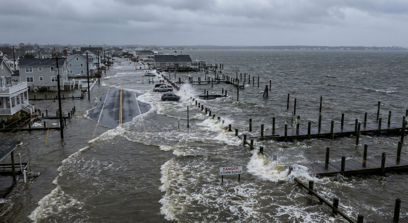
The seafloor slope shapes the surge
The underwater landscape matters as much as what you see from the beach. A key factor is the continental shelf, the gently sloping seafloor near many coastlines.
When the shelf is wide and shallow, wind has more shallow water to push into the shore. That water cannot easily move downward, so it tends to stack up vertically as it approaches land.
When the shelf is steep, deep water sits closer to shore, and the surge can be more limited because water can redistribute differently.
Think of pushing a puddle across a flat driveway versus pushing water up a steep, narrow channel. The flat surface makes it easier for a big sheet of water to advance and pile up.
How scientists measure surge
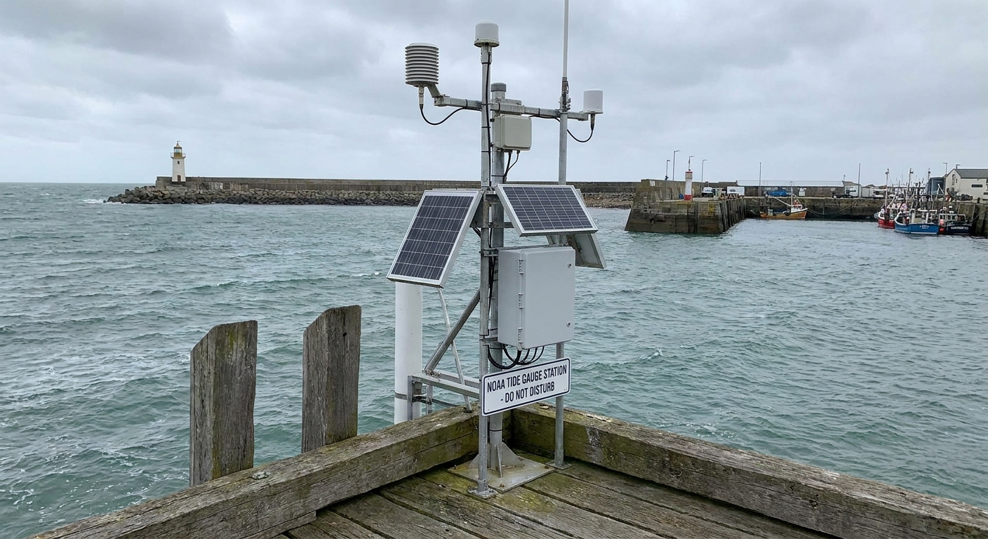
Coastal water level is observed continuously using tide gauges. These instruments measure sea level relative to a fixed land reference point. During storms, they record the combined effects of tide, surge, and sometimes wave-related effects.
How gauges estimate surge from the tide
Forecasters have a prediction for the astronomical tide based on celestial mechanics. In simplified form, they compute:
- Observed water level (from the gauge)
- Minus predicted tide (from tide tables or harmonic analysis)
- Equals storm surge residual (the non-tidal signal)
That residual is what you will often see referenced as “surge” in technical products. It is a useful way to isolate what the storm added above normal tidal behavior, but it is not perfectly pure. Depending on location, the residual can also include other non-tidal effects (and small prediction errors), especially in complex bays and estuaries.
Where waves fit in
Waves are a separate beast. Many gauges sample frequently, but operational products often report short-interval water levels (for example, 6-minute values), which tend to smooth out the fastest wave-by-wave splashes.
Shoreline impacts can still be higher due to:
- Wave setup: A slight raising of the nearshore mean water level due to breaking waves.
- Wave runup: Individual waves rushing higher up the beach, dunes, seawalls, or streets.
So if a forecast says “3 feet of surge,” that is not a promise that the water will only rise 3 feet at your doorstep. And when you see an inundation forecast, it is typically describing still-water flooding above ground level. Breaking waves can add extra hazard and do much of the structural damage right at the coast.
How surge models predict flooding
To forecast storm surge, scientists use numerical models that simulate how water moves under wind and pressure. Conceptually, these models solve the physics of fluids: how forces push water around, how water piles up in shallow areas, and how coastlines and bathymetry shape the flow.
Modern surge models ingest things like:
- Forecast winds and pressure from weather models
- Seafloor depth maps and coastal topography
- Coastline roughness and land cover (which affects inland flow and friction)
- Tides to estimate total storm tide
The output is not just a single number. It is a map of expected water levels, often with uncertainty ranges, because small track changes can shift where the onshore push is strongest.
Why hurricane category does not tell you the surge
The Saffir-Simpson Hurricane Wind Scale is exactly what it says on the label: a wind rating. It categorizes hurricanes by their maximum sustained wind speed, not by surge, rainfall, or storm size.
That leads to a common and dangerous misunderstanding: two storms in the same category can flood very differently.
Surge depends on more than peak winds, including:
- Storm size and wind field shape
- Forward speed and angle of approach
- Wind direction relative to your local shoreline
- Coastline geometry (bays, sounds, inlets)
- Seafloor slope and shallow shelf extent
- Tidal timing (landfall at high tide vs low tide)
If you want a single takeaway to keep: category tells you something important, but not the thing that floods your house.
A quick way to picture storm surge at home
Here is a low-tech mental demo I love, left over from my teaching days. Imagine a shallow baking tray with a thin layer of water.
- Blow across the surface steadily and the water will pile up on the far end. That is wind stress.
- If the tray has a gentle slope, the piled water creeps farther “inland.” That is the shallow shelf effect.
- If one end is narrowed by a divider, the water rises higher there. That is the funneling coastline effect.
Real oceans are messier, but the physics theme is the same: persistent push plus limited escape routes equals water stacking up where you do not want it.
FAQ
Is storm surge the same as a tsunami?
No. A tsunami is usually triggered by seafloor displacement, such as an earthquake or landslide, and arrives as a series of long waves. Storm surge is a storm-driven rise in coastal water level caused mainly by wind and low pressure.
Can storm surge happen without a hurricane?
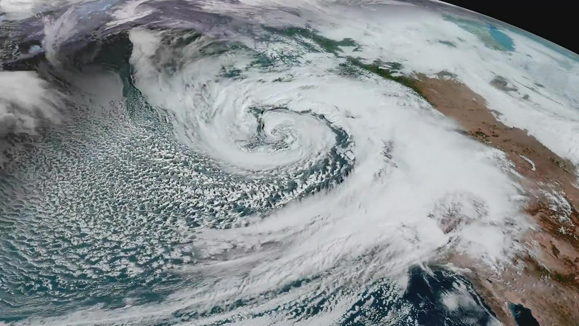
Yes. Nor’easters, strong extratropical cyclones, and even intense winter storms can generate surge if winds push water onshore for long enough.
Why does surge sometimes go far inland?
Low-lying terrain, river channels, and bays can give surge a pathway inland. If the storm arrives near high tide and heavy rainfall is also draining seaward, water can back up and worsen flooding.
What should I pay attention to in forecasts?
Look for products that explicitly mention storm surge inundation or expected water above ground level for your location. Those translate most directly to flood risk, more so than category alone.