Curiosity, with all its quills showing.
Two storm clouds get mistaken for each other often because they both look like the sky is lowering to meet you: the shelf cloud and the wall cloud. One is the storm’s leading edge of outflow, the other is a lowered base beneath the storm’s updraft. That difference matters because it changes what hazards you should expect and how quickly you should get to safer shelter.
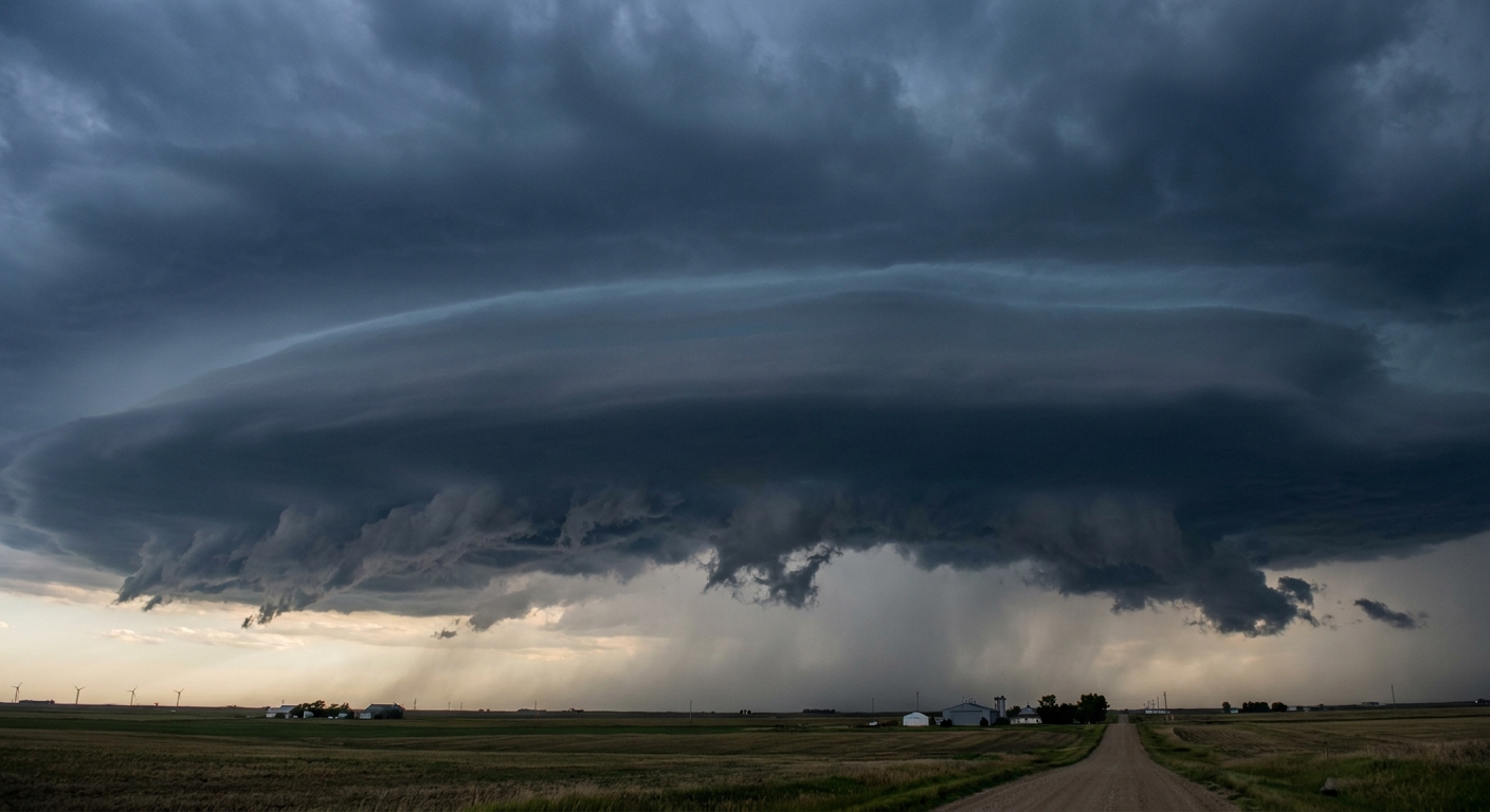
The quick difference
If you remember only one thing, make it this:
- Shelf cloud: attached to the storm’s gust front (outflow). It is usually a long, horizontal lip or arc on the storm’s leading edge. It often arrives with strong straight-line winds, a temperature drop, and a wind shift.
- Wall cloud: attached to the storm’s updraft (inflow). It is a localized lowering under the rain-free base, sometimes rotating. It can be associated with tornado potential in the right storm setup.
What a shelf cloud is (and what it means)
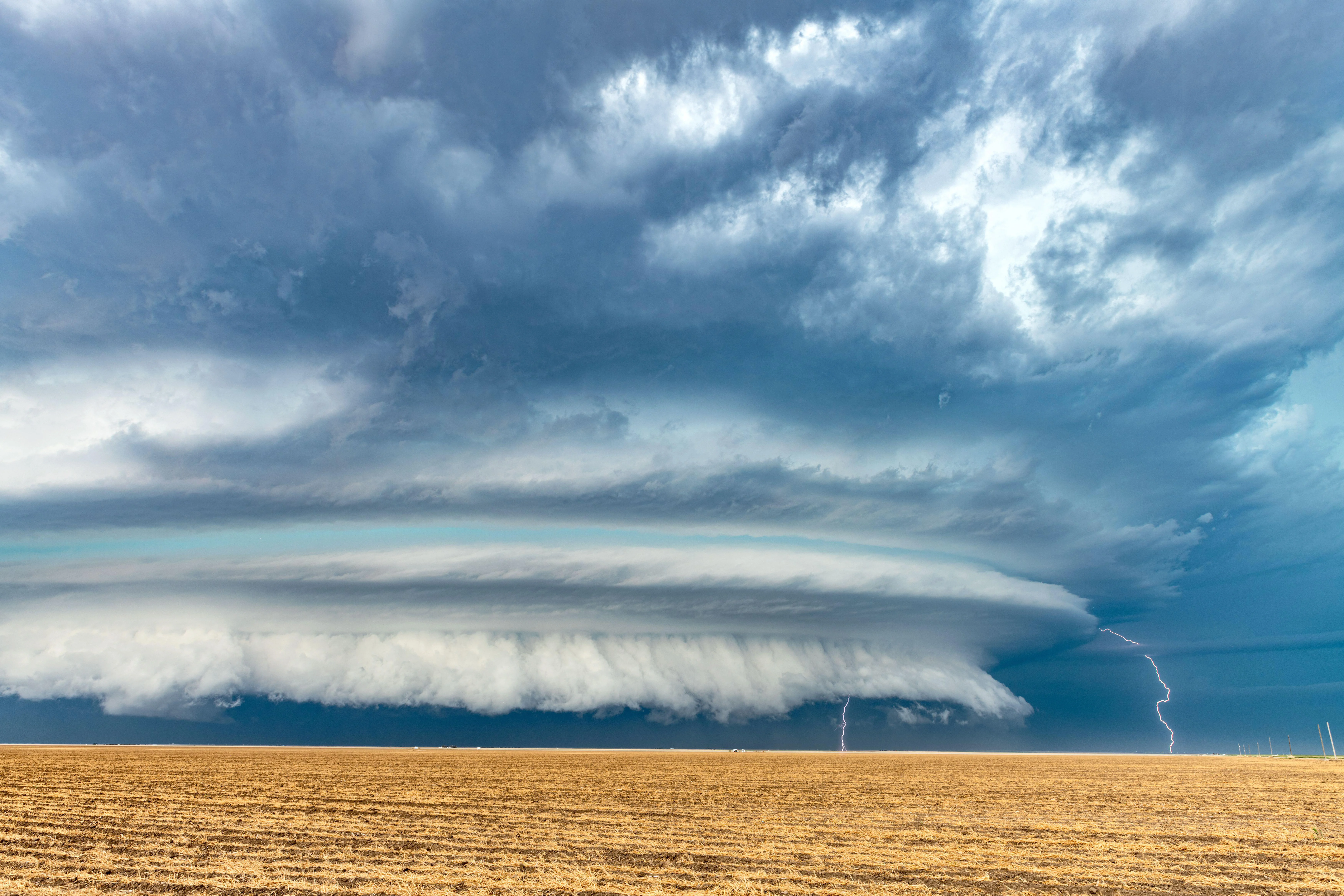
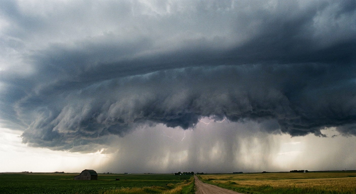
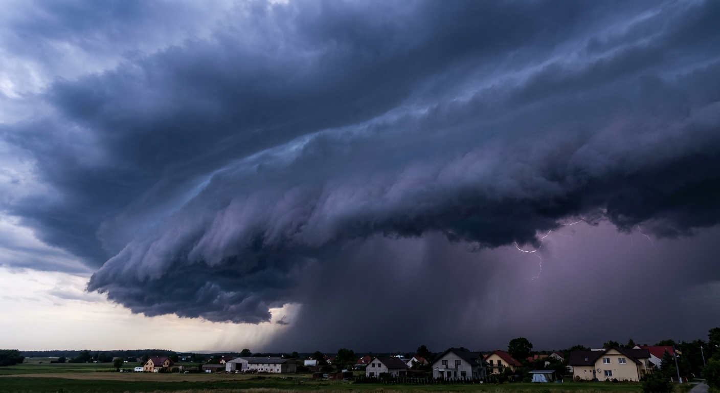
A shelf cloud is a low, horizontal cloud formation that forms where a thunderstorm’s cold outflow air pushes outward along the ground. That leading boundary is the gust front. Warm, moist air ahead of it is forced to rise, cool, and condense, creating the dramatic “shelf” appearance.
Common visual cues
- Shape: long, broad, and horizontally stretched, sometimes spanning much of the horizon.
- Position: typically on the front edge of the storm, ahead of the main rain or hail core.
- Texture: often has a smooth leading edge with a turbulent, ragged underside. You may see wispy fragments called scud racing beneath it.
- Movement: appears to surge forward as the gust front advances.
What hazards to expect
A shelf cloud is not a tornado by itself. The biggest risks are the ones tied to outflow:
- Damaging straight-line winds
- Blowing dust and sudden visibility loss
- Wind-driven debris
- Rapidly changing conditions for boats, high-profile vehicles, and outdoor events
One more common mix-up: a roll cloud can look shelf-like, but it is typically a detached, tube-shaped cloud that “rolls” along a boundary. A shelf cloud is generally attached to the storm base and tied to a pushing gust front.
What a wall cloud is (and what it means)
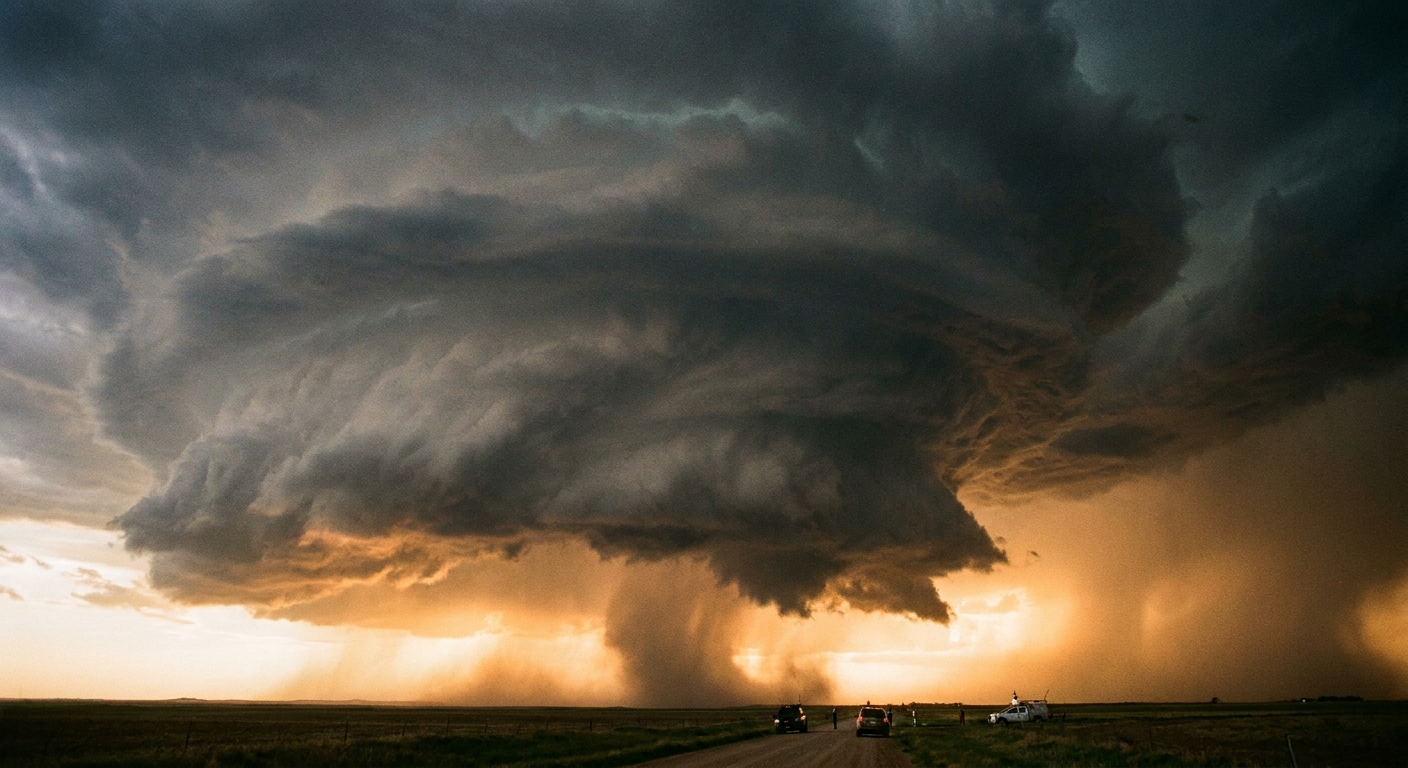
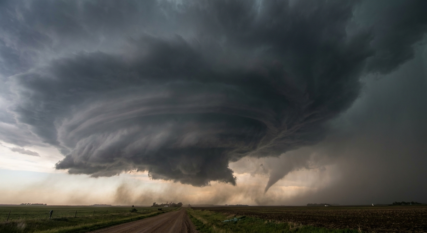
A wall cloud is a localized lowering of the cloud base beneath a thunderstorm’s main updraft, most famously beneath a supercell. It forms when warm, humid inflow air rises rapidly into the updraft and condenses lower than the surrounding base. In some storms, the air feeding the updraft begins to rotate, and the wall cloud can rotate as well.
Common visual cues
- Shape: a lowered, blocky or cylindrical lowering under the main base, not stretched across the whole horizon.
- Position: usually under the storm’s rain-free base, on the inflow side of the storm. In a classic Northern Hemisphere supercell, that is often on the south or southwest flank, but storm mode (LP, classic, HP) and motion can shift where the “clean” updraft base is easiest to see.
- Motion: may show organized rotation over several minutes. Rotation looks like a slow, persistent turning of the lowering, not just scud shredding around in gusty wind.
- Inflow signs: you might notice air flowing toward the storm at the surface, sometimes warm and humid, with rising motion feeding into the base.
What hazards to expect
A wall cloud does not guarantee a tornado, but it is the cloud feature spotters watch most closely for tornadogenesis, especially if rotation tightens and a funnel forms.
- Tornado potential (especially if rotating strongly and persistently)
- Large hail and intense lightning nearby
- Rapid storm evolution, where safe viewing distances can shrink fast
Also worth saying out loud: in an HP supercell or any rain-wrapped mess, the wall cloud may be partially or completely hidden. That is one more reason not to rely on visual ID when warnings are in play.
Shelf cloud vs. wall cloud: spotter cues
When you are under a dark storm base, everything can look lowered. These checkpoints are the ones storm spotters use because they tie cloud shape to storm airflow.
At a glance: shelf cloud out front with outflow rushing at you. Wall cloud under the updraft with inflow feeding in, sometimes rotating.
1) Where is it on the storm?
- Shelf cloud: out front, often leading the rain. If you are about to get hit by the storm, a shelf cloud is a common “here it comes” feature.
- Wall cloud: tucked under the updraft base, often not on the leading edge. You may have precipitation off to one side while the wall cloud sits in a comparatively rain-free area.
2) Is it long and horizontal, or localized and lowered?
- Shelf cloud: long, layered, and stretched like a wide lip.
- Wall cloud: concentrated lowering that looks like a bulge or block under the base.
3) What is the wind doing where you stand?
- Shelf cloud (outflow dominated): winds often rush outward from the storm toward you as the gust front arrives. Expect a cool surge.
- Wall cloud (inflow dominated): winds near you may flow into the storm toward the wall cloud region. The air may feel warm and muggy.
Important: wind at ground level can be messy near storms, especially around boundaries. Use wind as one clue, not the only clue.
4) Rotation: organized vs. ragged
This is where people most often get fooled.
- Scud under a shelf cloud can race and churn, creating the impression of rotation. It is usually chaotic, with fragments forming and dissolving quickly.
- Wall cloud rotation is typically more coherent and sustained. Look for a persistent turning motion of the lowering itself over several minutes.
5) Is there a clear rain core behind it?
- Shelf cloud: commonly has a rain shaft behind it, sometimes with a sharp visual curtain of precipitation following.
- Wall cloud: often sits adjacent to the main precipitation, under the updraft base, with the heaviest rain and hail displaced away from the wall cloud area.
Common mix-ups
Mistaking a shelf cloud for a tornado
A shelf cloud can look like a massive dark wedge. But a shelf cloud is typically broad and attached to a linear gust front. If the feature spans much of the horizon and the wind is surging toward you, think outflow first.
Mistaking scud for a rotating wall cloud
Low cloud fragments can form in humid air under many parts of a storm, especially along gust fronts. Scud can appear to spin as it gets stretched and shredded by turbulent winds. The key is whether there is organized, persistent rotation of a defined lowering attached to the updraft base.
Assuming any wall cloud means a tornado is imminent
Many wall clouds never produce tornadoes. Tornado formation requires a specific set of storm-scale conditions and near-ground ingredients that are not always present. Treat a rotating wall cloud as a serious warning sign, but not a guarantee.
Safety notes
Cloud ID is interesting. Staying alive is better.
- Do not use cloud features as your primary warning system. Use official watches and warnings, radar-based alerts, and local guidance.
- Get indoors early. Shelf clouds can bring damaging winds and flying debris even without tornadoes.
- Assume lightning is a threat. Lightning can strike miles from the rain core.
- Avoid overpasses. They are not safe tornado shelter and can increase wind hazards.
- If you see a rotating wall cloud, do not wait for the funnel. Move to sturdy shelter. Tornadoes can form quickly and may be wrapped in rain.
- Do not stand in open fields or on hilltops to get a better view. That increases lightning risk and leaves you exposed to wind and hail.
FAQ
Can a shelf cloud produce a tornado?
A shelf cloud itself is a gust front feature, not a tornado funnel. However, boundaries associated with outflow can sometimes be involved in brief spin-ups, especially in squall lines and other non-supercell setups. That is a different beast than the classic supercell tornado that may develop from a rotating wall cloud. Treat any rapid rotation near the ground seriously, but do not assume a shelf cloud is a tornado just because it looks dramatic.
Does a wall cloud always rotate?
No. Some wall clouds are not visibly rotating. Rotation that is persistent and organized is one of the more concerning signs, but lack of obvious rotation does not automatically mean there is no risk.
What is the difference between a wall cloud and a funnel cloud?
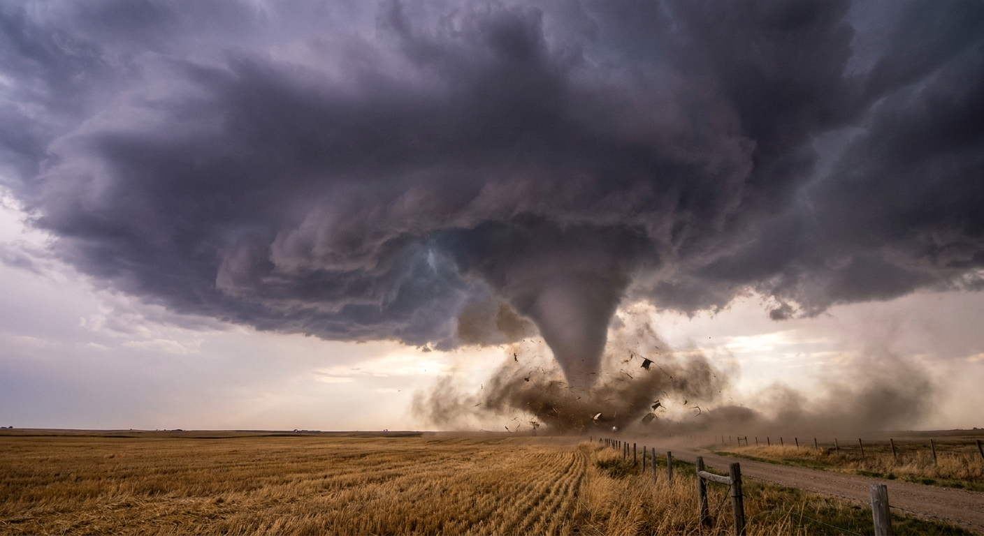
A wall cloud is a lowered cloud base under the updraft. A funnel cloud is a rotating condensation funnel extending downward from the cloud base. A funnel may descend from a rotating wall cloud, but they are not the same feature.
What should I do if I cannot tell which one I am seeing?
Err on the side of caution. If you are close enough to debate shelf versus wall cloud, you are close enough for strong winds, lightning, and potentially severe hazards. Seek sturdy shelter and follow official alerts.
A simple mental picture
Think of the storm as having two big personalities:
- Outflow (pushes air out): shelf cloud on the leading edge, wind surge, cooler air.
- Inflow and updraft (pulls air in and up): wall cloud under the updraft base, sometimes rotating, a feature to treat with extra respect.
Once you start looking for airflow, not just shapes, the sky’s clues get a lot easier to read.