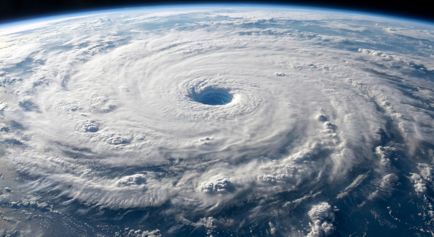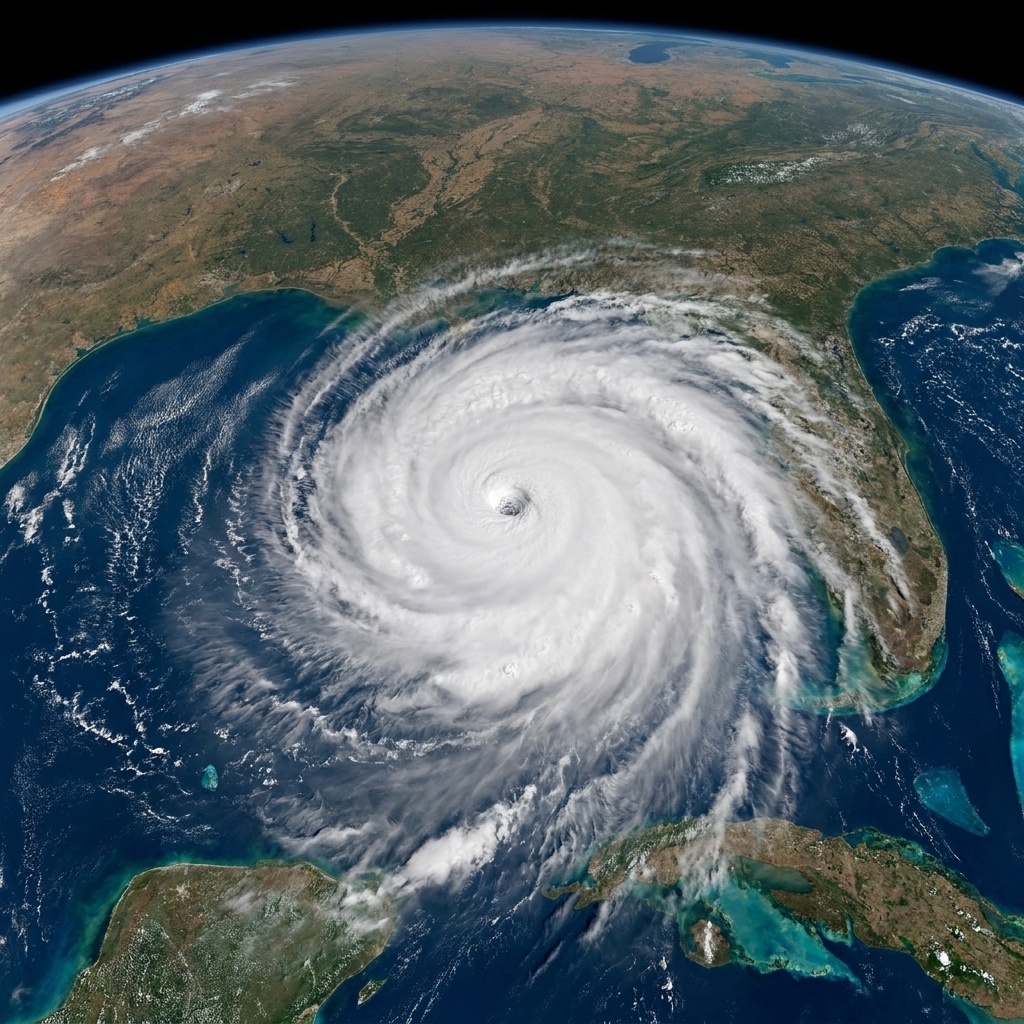
Hurricane Isaias has become the first Atlantic hurricane of the season and is expected to strengthen as it approaches the northern Gulf Coast on Friday. The National Hurricane Center forecasts landfall late Friday or early Saturday as a Category 1 storm with damaging hurricane-force winds and the potential for life-threatening storm surge.
Exactly where Isaias comes ashore remains unclear. Current models show the center coming onshore anywhere from eastern Mississippi to the western tip of the Florida Panhandle.
Track and landfall
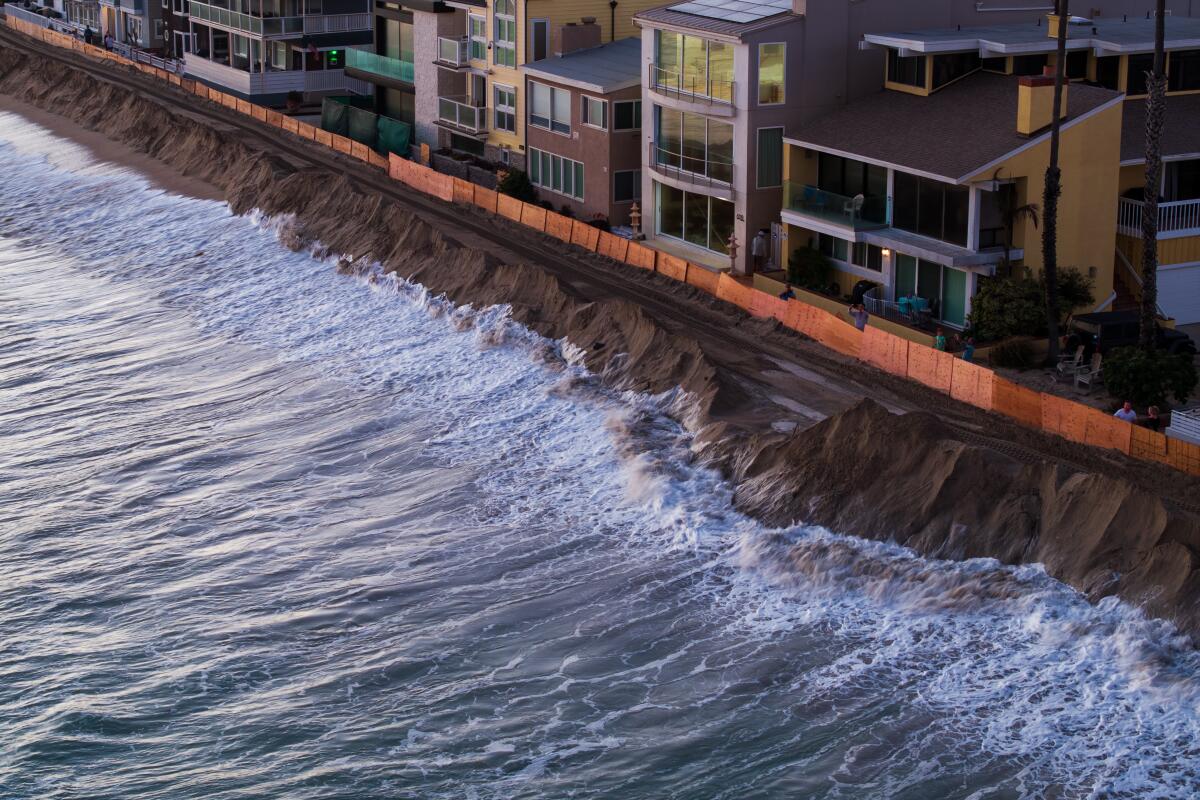
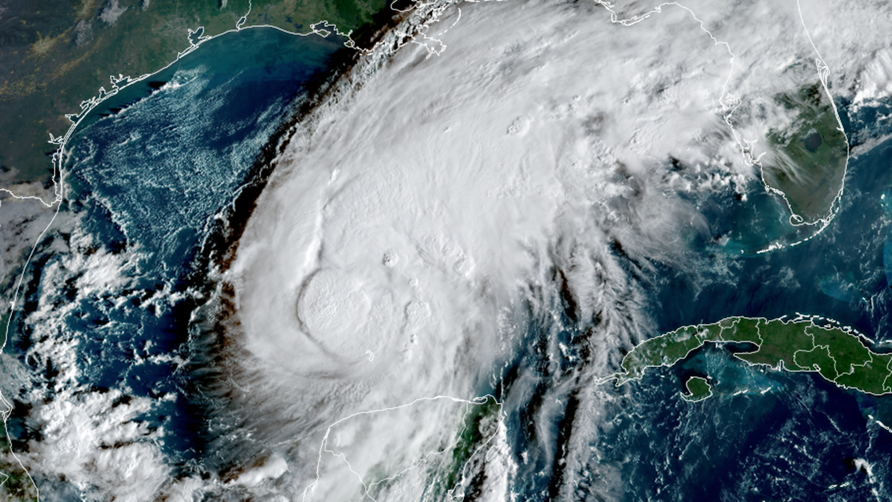
The forecast path spans a wide stretch of coastline, from eastern Mississippi to the western Florida Panhandle. The National Hurricane Center has warned the storm could bring life-threatening storm surge as it nears the northern Gulf Coast.
The governors of Florida, Alabama and Georgia have declared states of emergency ahead of the storm. Numerous counties in Mississippi also declared emergencies.
Latest position and strength
As of 5 p.m. ET Thursday, the storm’s status was:
- Location: about 325 miles south of the mouth of the Mississippi River
- Maximum sustained winds: 100 mph
- Motion: moving northeast at 12 mph
The National Hurricane Center said additional strengthening is expected through early Friday, and that Isaias should remain a dangerous hurricane as it approaches the northern Gulf Coast Friday night.
Evacuations and local actions
Mandatory evacuation orders have been issued for parts of Alabama’s Dauphin Island and Florida’s Walton, Escambia and Okaloosa Counties.
In a news release, the Okaloosa County government urged people to leave:
"Residents should take this storm seriously and evacuate,"the county said.
Officials in several coastal cities, including Alabama’s Gulf Shores and Orange Beach, urged voluntary evacuations.
"In anticipation of the expected impacts from Tropical Storm Isaias, the cities of Gulf Shores and Orange Beach are encouraging all non-residents, and residents living in low-lying, flood-prone areas to voluntarily evacuate,"the cities said in a joint statement.
Florida Gov. Ron DeSantis urged preparation statewide, saying:
"Floridians should take this time to get disaster plans in place and ensure their hurricane supply kit is stocked,"and urging residents in the projected path to
"execute your hurricane plan."
Watches and warnings
Hurricane, tropical storm and storm surge warnings extend across portions of the northern Gulf Coast.
Hurricane warning
- From Ocean Springs, Mississippi, to the Bay/Gulf County Line, Florida
Tropical storm warning
- From the Jefferson/Plaquemines Parish line in Louisiana to west of Ocean Springs, Mississippi
- East of the Bay/Gulf County Line to the Aucilla River, Florida
Storm surge warning
- From the mouth of the Mississippi River to the Suwannee River, Florida
Storm surge watch
- From the Suwannee River, Florida, to Yankeetown, Florida
What the warnings mean
If you are in a warning area, it helps to translate the terminology into a timeline and a to-do list.
- Hurricane warning: Hurricane conditions are expected somewhere in the warned area. These warnings are typically issued 36 hours before the anticipated arrival of tropical-storm-force winds. The National Hurricane Center said preparations to protect life and property should be rushed to completion.
- Tropical storm warning: Tropical storm conditions are expected somewhere in the warned area within 36 hours.
- Storm surge warning: There is a danger of life-threatening inundation from rising water moving inland, and this threat is expected within the next 36 hours.
- Storm surge watch: Storm surge inundation is possible within 48 hours.
Storm surge heights
The National Hurricane Center said water could reach the following heights above ground somewhere in these areas if the peak surge coincides with high tide:
- Ocean Springs, Mississippi, to Indian Pass, Florida: 5 to 7 feet
- Mobile Bay: 5 to 7 feet
- Indian Pass to the Steinhatchee River, Florida: 4 to 6 feet
- Mouth of the Mississippi River to Ocean Springs: 3 to 5 feet
- Steinhatchee River to Suwannee River, Florida: 3 to 5 feet
Rain and tornado risk
Isaias is expected to produce rainfall amounts of 4 to 8 inches across the central Gulf Coast, with up to 15 inches possible in localized areas. The National Hurricane Center said the rain could lead to flash flooding.
The National Hurricane Center also said an isolated risk of tornadoes will begin Friday night in coastal areas of Alabama, the Florida Panhandle and far southwestern Georgia.
Football plans in Tuscaloosa
The University of Alabama said it is closely monitoring Isaias, but that the Crimson Tide’s home football game against Georgia in Tuscaloosa, Ala., scheduled for 7:30 p.m. ET on Saturday, will go on as scheduled. President Trump is planning to attend the game. ESPN’s College GameDay said it will move its roadshow inside.
Why it took so long
The Atlantic hurricane season runs from June to November, and it had not gone this late in the year without a hurricane since 1905. A typical season averages 14 named storms, with seven becoming hurricanes. This year had produced eight named storms but no hurricanes before Isaias.
One major background factor has been an unusually strong El Niño. El Niño begins with warmer-than-usual water in the central and eastern equatorial Pacific and can produce worldwide weather changes. In the Atlantic, El Niño can increase wind shear, which is a rapid change in wind speed or direction with height that can disrupt storms and make strengthening more difficult.
By contrast, El Niño conditions have contributed to an unusually busy Pacific hurricane season. There have been 21 named storms and 10 hurricanes, both above historical averages. Last month’s Hurricane Polo became the third of the season to reach Category 5 intensity.
As meteorologist Lindsey Long of the U.S. National Oceanic and Atmospheric Administration’s Climate Prediction Center put it:
"It only takes one storm for a lot of possible destruction. So you don't want to put your guard down."
What to do now
Coastal residents in areas covered by evacuation orders and warnings should follow instructions from local officials and take steps to prepare ahead of Isaias’ arrival.