Curiosity, with all its quills showing.
Clouds can look like soft furniture in the sky, but they are really physics made visible. At heart, cloud formation is a three-part story: air moves upward, that air cools, and invisible water vapor turns into visible liquid droplets or ice crystals. Let’s pull up a chair and watch the process happen.
The short answer
Clouds form when air containing water vapor cools until it becomes saturated. At that point, water vapor can condense onto tiny airborne particles called condensation nuclei, forming countless microscopic droplets or ice crystals that scatter light and become visible as a cloud.
- Lift starts the process by moving air upward.
- Cooling happens because pressure decreases with height, so rising air expands and cools.
- Saturation is the moment the air can no longer “hold” all its water vapor in gas form at that temperature.
- Condensation nuclei give water molecules a surface to gather on, making droplets easier to form.
Step 1: Air rises
Most clouds begin with a simple motion: a parcel of air gets pushed upward. Higher up, air pressure is lower. When the parcel rises into that lower-pressure environment, it expands, and expansion cools it. This is the basic idea behind adiabatic cooling, cooling that happens because of expansion rather than because the air is mixing with colder air.
If the air never rises, it often does not cool enough to form many types of clouds. But lift is not the only path. Air can also cool near the ground at night (radiational cooling), glide over a colder surface (advection fog), or cool by mixing with other air, all of which can produce low clouds and fog.
Step 2: Rising air cools to the dew point
Air temperature matters because warm air can contain more water vapor than cold air. As a rising parcel of air cools, the maximum amount of water vapor it can keep as a gas drops. Eventually, the parcel reaches the dew point, the temperature at which the air becomes saturated for its current moisture content.
At the dew point, relative humidity is 100% by the usual definition (often relative to liquid water). In colder or mixed-phase conditions, meteorologists sometimes talk about humidity relative to ice, and the air can be slightly supersaturated, but the big picture is the same: the air is now ready to start condensing.
Step 3: Condensation begins on tiny particles
In perfectly pure air, water vapor would have a surprisingly hard time forming droplets because it would require much higher supersaturation than typically occurs in the atmosphere. In the real world, water vapor almost always has help: condensation nuclei, tiny floating particles that act like landing pads for water molecules.
Common condensation nuclei include:
- Sea salt from ocean spray
- Dust and soil lifted by wind
- Smoke and pollution particles
- Pollen and other biological bits
Once water starts collecting on these nuclei, microscopic droplets grow. A visible cloud is essentially an enormous collection of droplets or ice crystals suspended in air.
What “saturation” really means
You will often hear that “cold air holds less water vapor than warm air.” That is a helpful shorthand, but the deeper idea is that the saturation vapor pressure is lower at colder temperatures. In other words, at cooler temperatures, fewer water vapor molecules can remain in the gas phase before condensation becomes favorable.
So when air rises and cools, it does not usually gain water. It reaches saturation because the ceiling for water vapor drops as the temperature drops.
How air gets lifted
Air can rise for several reasons. These lifting mechanisms are behind many everyday cloud scenes.
1) Convection
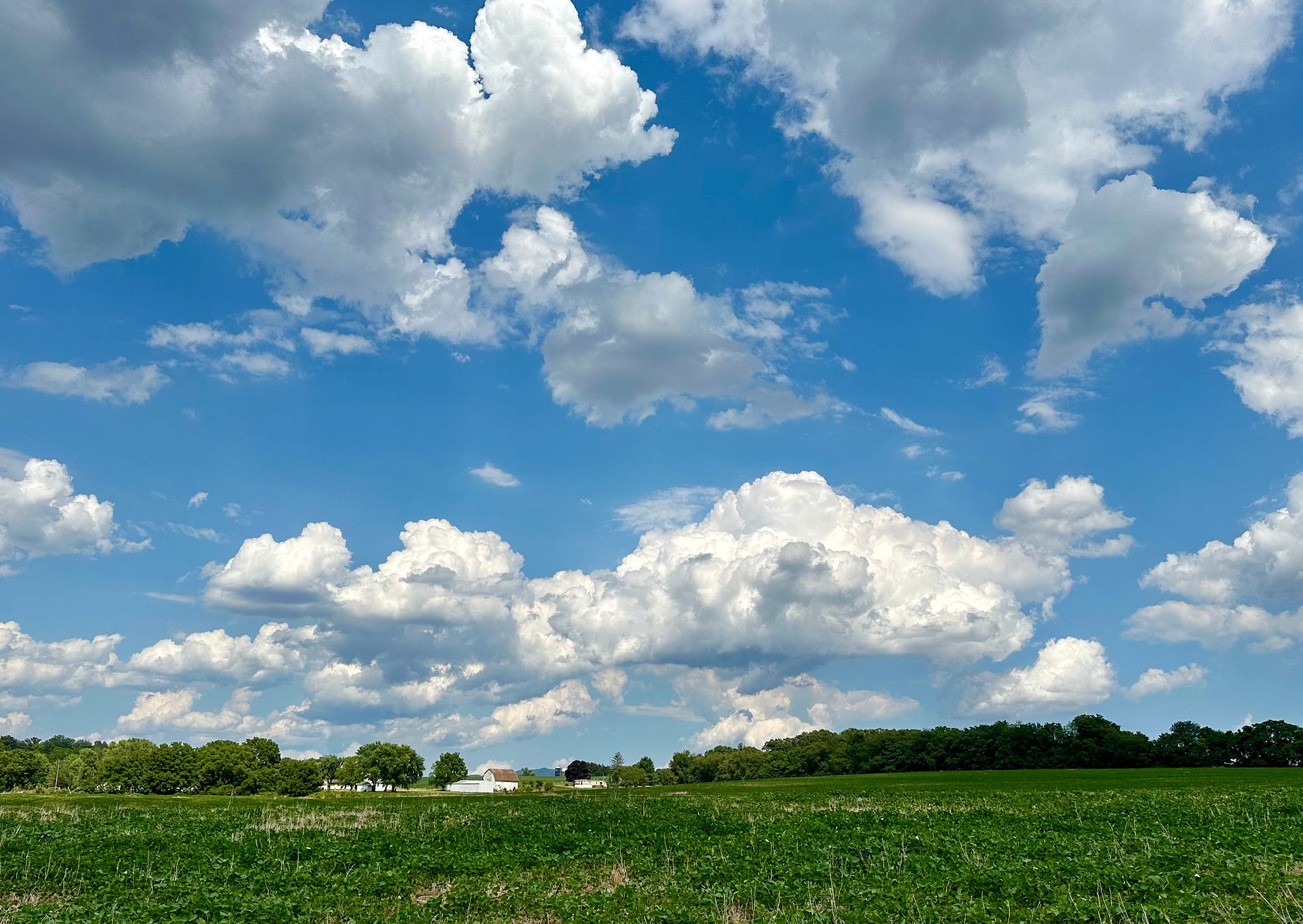
On a sunny day, the ground warms the air above it. Warm air becomes less dense and begins to rise in bubbling columns called thermals. As those thermals rise and cool, you often get fair-weather cumulus, the classic puffy clouds with flat-ish bases.
The flatter base is not an accident. It often marks roughly the height where rising air first reaches the dew point across a wide area.
2) Fronts
A front is the boundary between air masses. When they meet, one air mass is often forced to rise over the other.
- Warm fronts tend to produce widespread, layered clouds as warm air gently glides up over cooler air. Think more gradual thickening and broad overcast skies.
- Cold fronts are more like a wedge. Colder, denser air undercuts warm air, lifting it more abruptly, which can build taller clouds and sometimes thunderstorms.
3) Terrain (orographic lift)
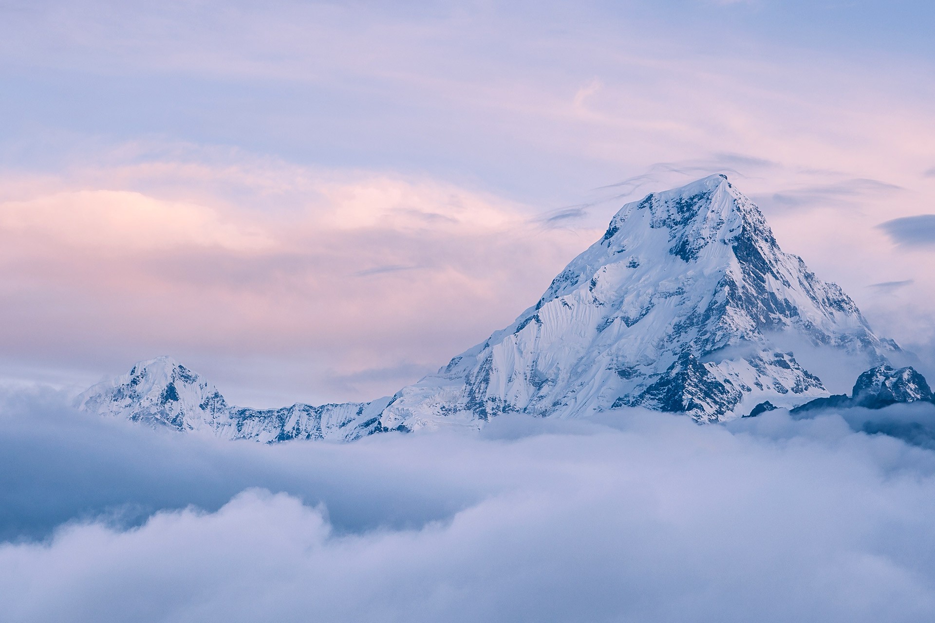
When wind blows toward a mountain range, it has nowhere to go but up. The air rises over the terrain, cools, and clouds form on the windward side. This is why some mountain slopes are lush and cloudy while the downwind side can be much drier.
4) Convergence
If winds at the surface flow toward the same area, the air piles up. It cannot stack forever at ground level, so it is forced upward. Convergence happens in many settings, including along sea breezes near coasts and in large tropical regions where trade winds meet.
In the tropics, strong convergence plus abundant moisture can fuel towering cloud growth.
Why clouds look white (and sometimes gray)
Cloud droplets and ice crystals scatter sunlight in many directions, which is why most clouds appear white. When a cloud gets thicker, less light makes it through. The base can look gray because you are looking at the shadowed underside of a deep layer of droplets, not because the droplets themselves are dark.
Near sunrise or sunset, clouds often pick up reds and oranges because sunlight has traveled through more atmosphere and more blue light has been scattered out before it reaches the cloud.
Is cloud water liquid or ice?
It depends on temperature and the cloud’s vertical structure. Warm clouds are mostly liquid droplets. Colder clouds often contain ice crystals, and many clouds in between are mixed. A fun twist is that droplets can remain liquid below freezing, called supercooled liquid water, until they freeze on contact with the right particles or surfaces.
Do clouds form from water vapor turning into “steam”?
Not quite. The word steam in everyday language often means “visible vapor,” but in physics terms, water vapor is invisible. The white stuff you see above a kettle or in your breath on a cold day is a tiny cloud: liquid droplets that formed when warm, moist air cooled and condensed.
Common cloud questions
Are clouds gas or liquid?
Mostly liquid droplets or ice crystals suspended in air. The water vapor that feeds clouds is a gas, but it is invisible.
Why do clouds have flat bottoms?
Many puffy clouds show a fairly flat base because the rising air reaches saturation at about the same altitude across a region. That altitude is sometimes called the cloud base, and it is closely tied to temperature and dew point near the surface.
Can clouds form without pollution?
Yes. Even in very clean air, there are usually some particles around, such as sea salt, dust, and natural biological aerosols. Pollution can increase the number of nuclei, but it is not the only source.
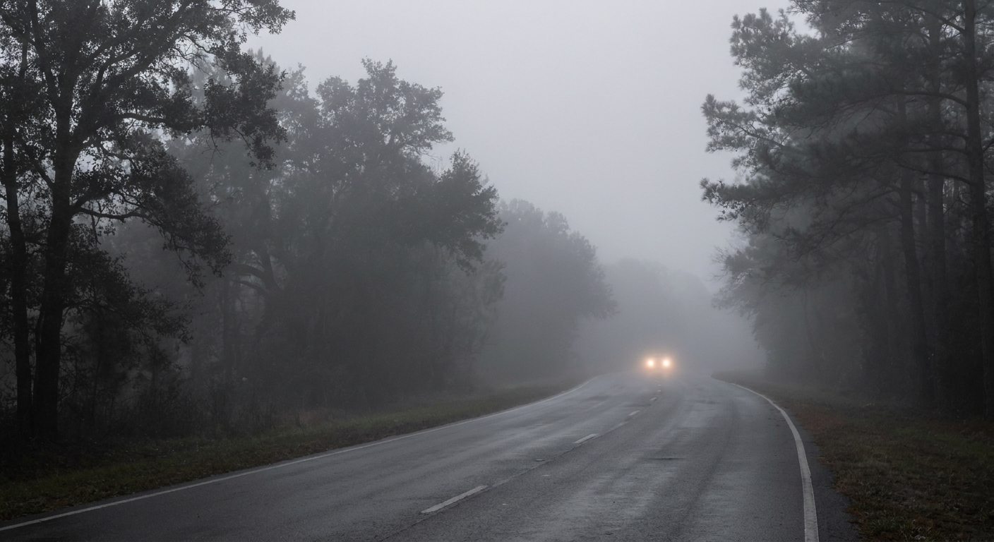
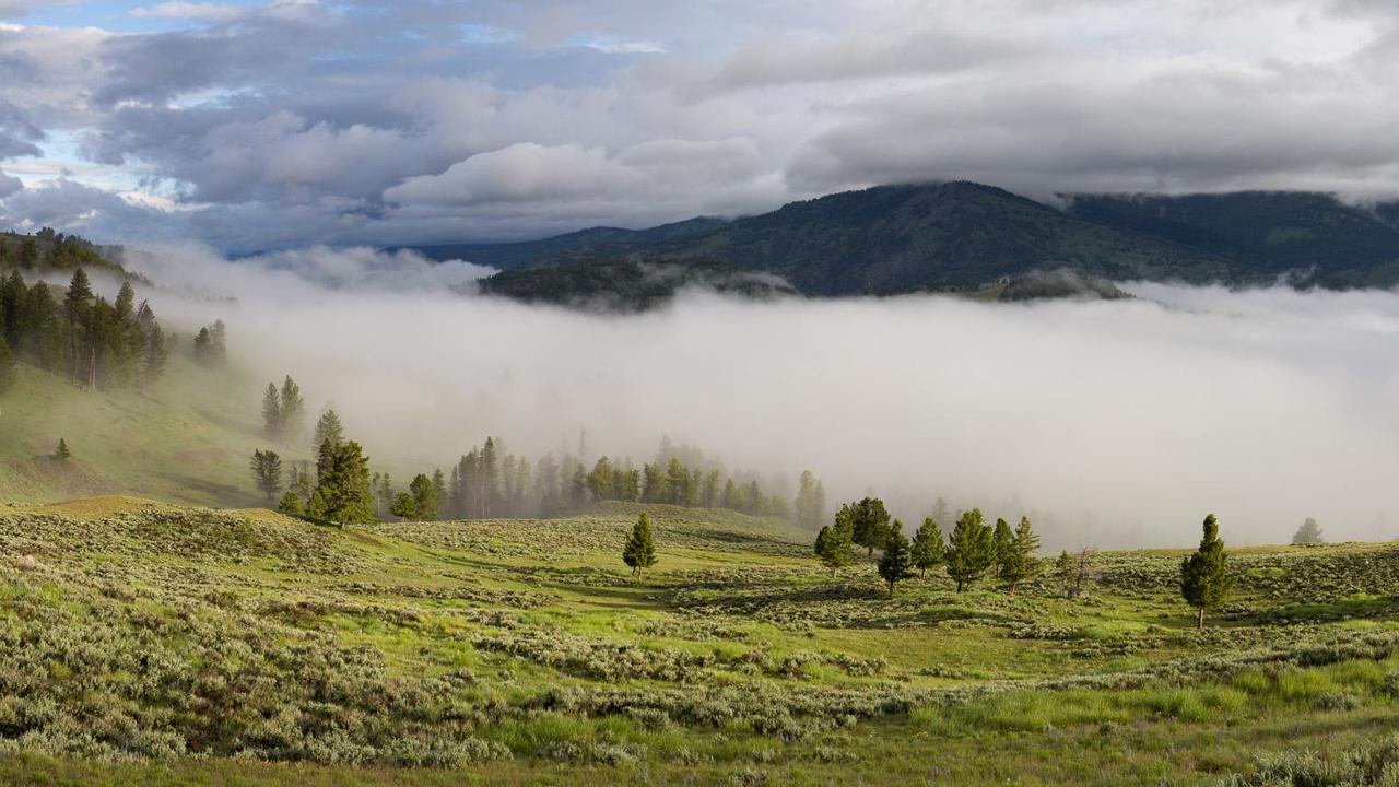
Is fog a cloud?
Fog is essentially a cloud at ground level. The same basics apply: moist air cools to saturation, condensation happens on nuclei, and droplets stay suspended.
The takeaway
If you want a simple mental model, keep this chain handy: cooling leads to saturation, and saturation plus nuclei leads to droplets or ice crystals. The atmosphere gets to that cooling step in a few reliable ways, including lift from convection, fronts, terrain, and convergence, plus near-ground cooling that can create fog and low cloud.
Next time you look up, you can ask a surprisingly answerable question: What cooled the air here? The cloud is your clue.