Curiosity, with all its quills showing.
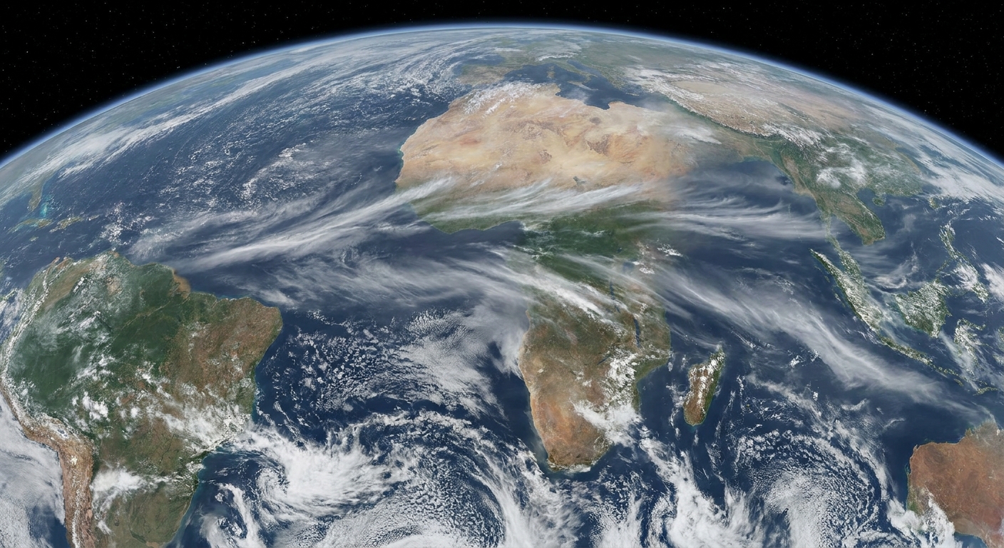
High above the weather you feel day to day, the equatorial stratosphere runs a quiet, reliable rhythm: its prevailing winds flip direction, then flip back, then flip again. That rhythm is the Quasi-Biennial Oscillation, or QBO.
The name is honest about its personality. It is quasi biennial because it is not a metronome at exactly two years, but it is close. Typically, it takes about 28 months for one full cycle of stratospheric wind directions to repeat. And even though it lives over the equator, it can matter far away, including how sturdy or fragile the winter polar vortex becomes.
The QBO in one sentence
The QBO is a repeating pattern in the equatorial stratosphere where the dominant winds switch between easterly (flow toward the west) and westerly (flow toward the east), and those wind regimes slowly descend through the stratosphere over time.
When you see the QBO described as “reversing winds,” it does not mean the wind flips everywhere at once. Instead, a band of winds of one direction forms high up and then migrates downward, followed by the opposite-direction band above it.
Where the QBO lives
The QBO is a stratospheric phenomenon, not a near-surface weather feature. It is strongest in the tropics, roughly within about 15°N to 15°S, and it is typically discussed across about 15 to 40 kilometers above Earth’s surface. In pressure coordinates, that corresponds most closely to roughly 70 to 10 hPa, where the signal is clearest and most consistently tracked.
You will still see QBO indices or diagnostics extending a bit beyond that core layer in some products, but the classic, clean QBO “heartbeat” lives in the mid-stratosphere.
A helpful way to picture it is as a set of broad, planet-encircling wind belts stacked above the equator, alternating direction with height and time.

Why the winds reverse
The engine behind the QBO is not a single storm or a single jet stream. It is the steady push and pull of atmospheric waves that originate largely in the troposphere, especially from tropical convection and global-scale circulation patterns.
Here is the core idea, in plain terms:
- Waves move upward from below into the stratosphere.
- As those waves interact with the stratospheric flow, they deposit momentum, meaning they nudge the mean wind one way or the other.
- That nudging can create a dominant wind regime (easterly or westerly), and once established, that regime tends to propagate downward as the momentum deposition shifts with height.
The result is the familiar descending pattern of alternating easterlies and westerlies that define the QBO cycle.
QBO phases
You will see QBO phases described a few different ways, but they are talking about the same two states:
- Westerly QBO (wQBO): the prevailing equatorial stratospheric wind is blowing toward the east (from west to east).
- Easterly QBO (eQBO): the prevailing equatorial stratospheric wind is blowing toward the west (from east to west).
The potential confusion is usually not about what “westerly” means, but about how it is displayed on QBO plots. Many scientific graphics show the zonal wind component (the east-west wind, often labeled u): positive values indicate westerly flow (toward the east), and negative values indicate easterly flow (toward the west). If you are reading a plot, check the axis labels. Many use m/s with that sign convention.
How scientists identify the phase
The QBO is often summarized using the equatorial zonal-mean wind at a particular pressure level. Two common reference levels are:
- 30 hPa (roughly the mid stratosphere)
- 50 hPa (lower stratosphere)
Historically, routine observations from radiosondes near Singapore helped anchor QBO monitoring, and today the same basic idea is supported by global observing networks and reanalysis datasets. In practice, you might see statements like “the QBO at 50 hPa is easterly,” meaning the averaged east-west wind over the equator at that level is currently negative (easterly).
Because the wind regimes descend, the phase can differ by height. It is possible for 30 hPa to be in one phase while 50 hPa is transitioning.
How long is a QBO cycle?
Most cycles fall in the neighborhood of 24 to 32 months, averaging close to 28 months. That spread is why “quasi” is doing work in the name.
The QBO is also famous for being usually regular, but not unbreakable. Rare disruptions have occurred, including a well-known disruption in 2015 to 2016, reminding scientists that even a strong atmospheric rhythm can be altered when the broader circulation and wave forcing line up in unusual ways.
QBO and the polar vortex
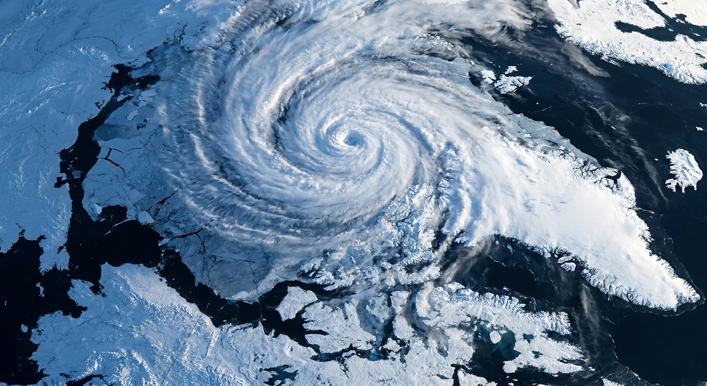
The polar vortex is a strong ring of westerly winds high in the atmosphere that forms each winter, especially in the stratosphere. It is not the same thing as the QBO, but the QBO can tilt the odds toward a vortex that is either more stable or more prone to disruption.
The short version
- Easterly QBO is often linked to a weaker, more easily disturbed winter polar vortex.
- Westerly QBO is often linked to a stronger, more stable winter polar vortex.
What “linked” really means
This is not a switch that guarantees a particular winter. Think of the QBO as a background condition that can change how readily the stratosphere allows certain wave patterns to travel and break. The relationship is a statistical tendency, and its strength can vary by decade, hemisphere, and the broader climate backdrop.
When the polar stratosphere receives more effective wave forcing from below, it is more likely to experience events that can weaken or distort the vortex, including sudden stratospheric warmings. Those stratospheric disruptions can, in turn, influence the troposphere and affect patterns like the Arctic Oscillation, which can shape mid-latitude cold outbreaks and storm tracks.
The QBO is one ingredient in that chain. Other major ingredients include:
- El Niño and La Niña conditions in the tropical Pacific
- Snow cover and land-atmosphere patterns across Eurasia
- Sea ice and ocean heat patterns in the Arctic
- Random variability in the atmosphere itself
Why the equator can affect the poles
If the equator and the Arctic feel like different planets, you are not alone. The bridge is the way the atmosphere transmits energy and momentum through waves and jet structures.
One classic pathway discussed in atmospheric science is that the QBO changes the stratosphere’s wind and temperature structure in a way that can influence:
- How planetary waves propagate upward from the troposphere into the stratosphere
- Where and how those waves break, which can decelerate the polar night jet and disturb the vortex
- How the stratosphere couples back to the troposphere after a disruption
In other words, the QBO can change the stratosphere’s “wave guide.” That can make it easier or harder for the polar vortex to be pushed off balance during winter.
Reading a QBO plot
Most QBO graphics fall into two families. Here is what to look for.
1) A single line at one level
This is the simplest view: one line that oscillates above and below zero.
- Above 0 typically means westerly QBO.
- Below 0 typically means easterly QBO.
Because the QBO descends, two sites can talk about different phases if they use different reference levels.
2) A height-time view
This view shows the downward migration clearly. You will see broad bands of one sign that slope downward with time, alternating with the opposite sign above.
If you ever wonder “why is the QBO changing so slowly,” this is the picture that answers it. The system evolves as the wind regimes propagate downward through a deep layer of atmosphere.
QBO basics
- What it is: A repeating reversal of winds in the equatorial stratosphere.
- How often: About every 28 months on average, typically 24 to 32 months.
- Phases: Easterly and westerly.
- How it is defined: The sign of the equatorial zonal wind at a given stratospheric level, often 30 hPa or 50 hPa.
- Why it matters: It can shift the odds toward a weaker or stronger winter polar vortex by changing stratospheric wave behavior.
Common questions
Is the QBO the same as the polar vortex?
No. The QBO is an equatorial stratospheric wind oscillation. The polar vortex is a high-latitude stratospheric circulation that strengthens each winter. The QBO can influence how the polar vortex behaves, but they are distinct patterns.
Does an easterly QBO guarantee a weak polar vortex and a cold winter?
No. It is better to think in probabilities. An easterly QBO is often associated with a vortex that is more susceptible to disruption, but the actual outcome depends on many other factors, including ocean patterns like ENSO and internal atmospheric variability.
Why do some sources say the QBO is 24 months if it is closer to 28?
Because it varies. Two years is a convenient shorthand, but long-term averages and many observed cycles cluster nearer 28 months. Both statements are trying to communicate “about every two years,” with different levels of precision.
Where can I find the current QBO phase?
National meteorological agencies and research centers often publish regular stratospheric diagnostics, including QBO indices at standard pressure levels. When you look, note which level is used, commonly 30 hPa or 50 hPa, since the phase can differ with height during transitions.