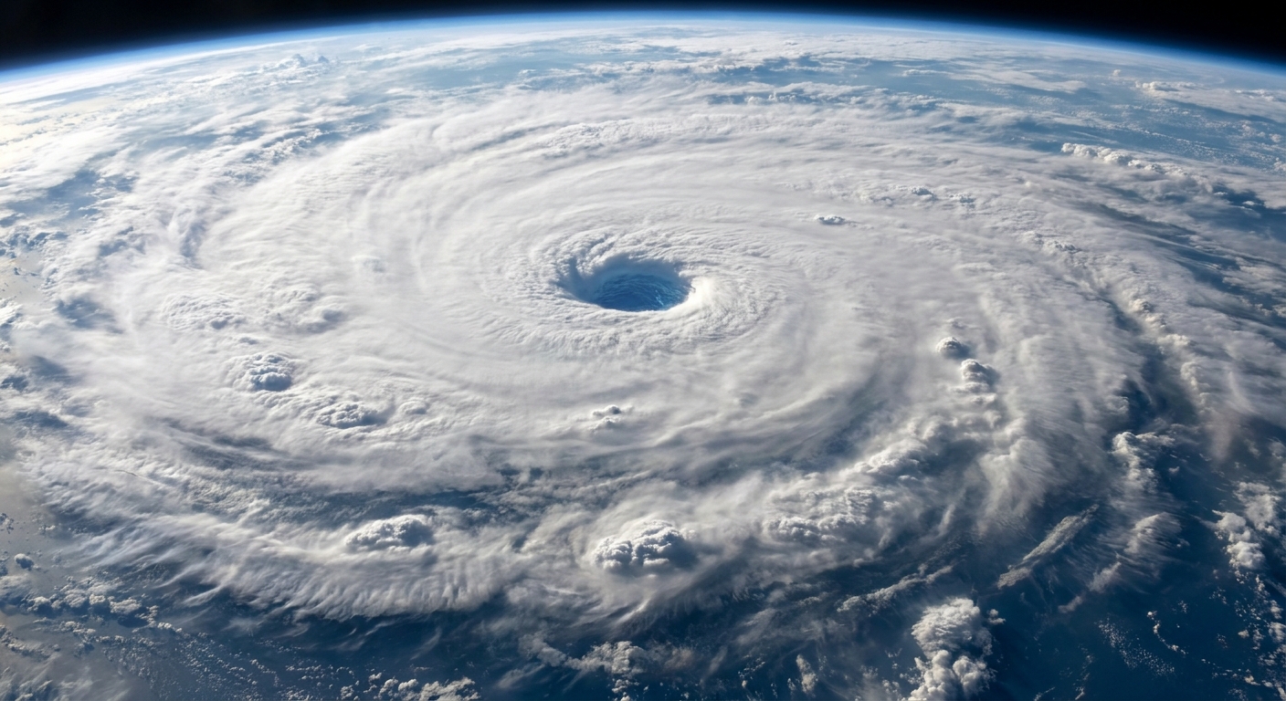
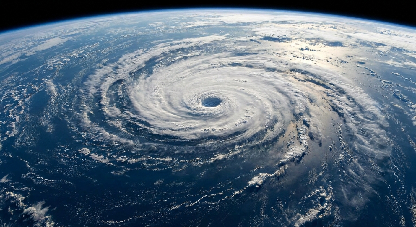
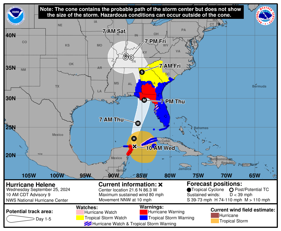
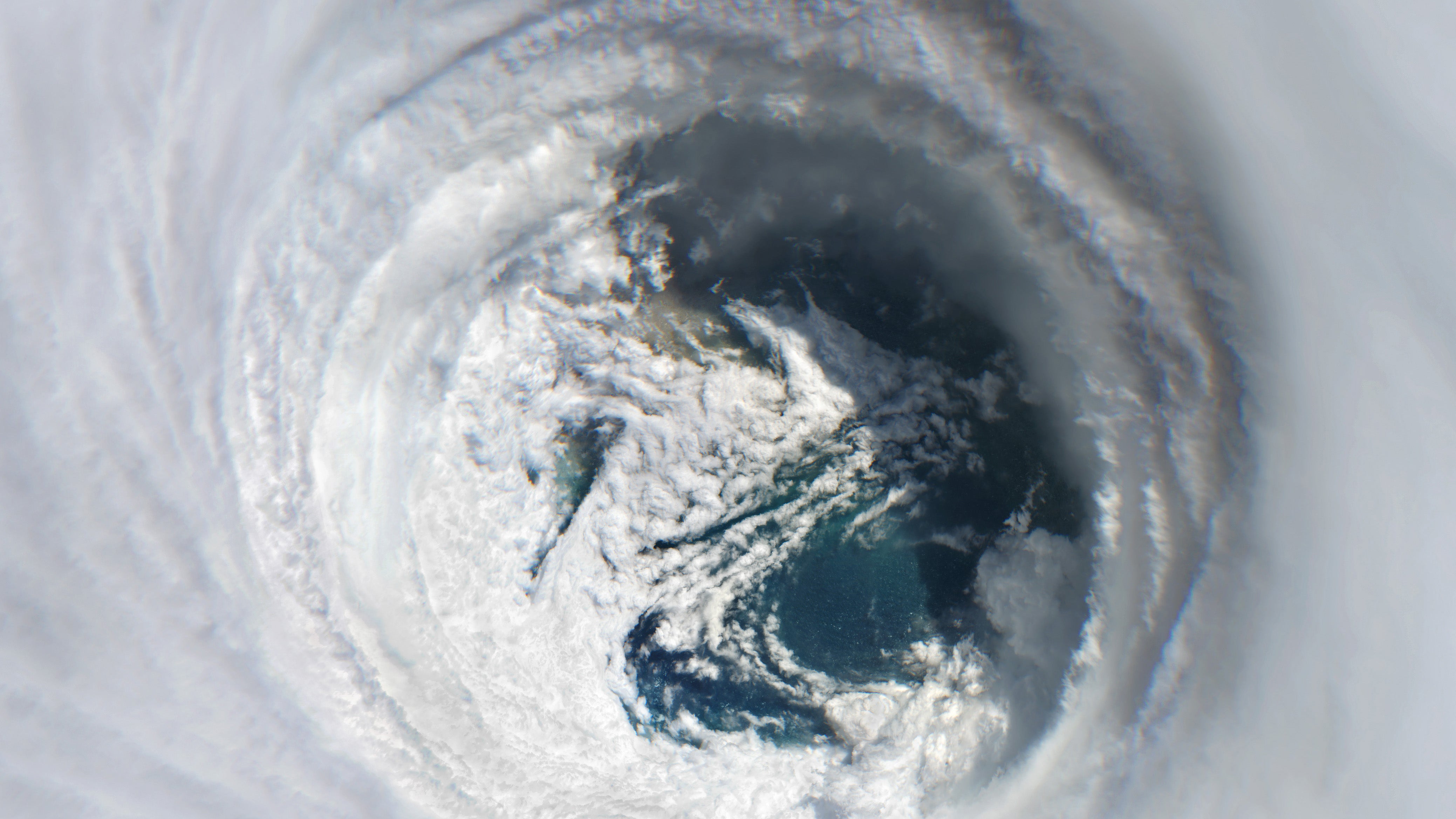
The first time I showed my students a satellite image of a mature hurricane, someone always pointed at the center and said some version of, “Wait, that looks… nice.” And honestly, it does. The eye of a hurricane can be calm and sometimes even partly clear, like the storm took a breath and made a little pocket of blue sky for itself.
But that calm is surrounded by the most violent part of the cyclone, the eyewall, where winds and rain typically peak. Understanding the eye is not just trivia. It is safety critical because the eye can trick people into thinking the storm is over.
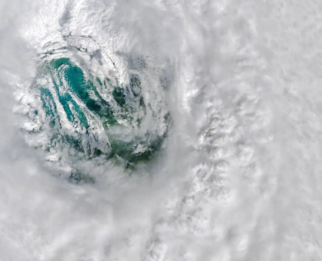
The eye, in plain language
The eye is the calm, low cloud region near the center of a mature tropical cyclone. It is usually:
- Relatively calm compared with the rest of the storm, with lighter winds.
- Warmer than the surrounding storm at the same altitude.
- Lower pressure than areas farther out, often the lowest pressure in the entire system.
- Sometimes clearer, because air in the eye is sinking, which tends to evaporate clouds.
Think of the hurricane like a giant, wet spinning top. Near the rim, air is racing. Near the center, the motion can become more organized, and the very middle can end up oddly quiet.
The eyewall: the damage ring
Wrapping around the eye is the eyewall, a near circular wall of intense thunderstorms. If the eye is the quiet courtyard, the eyewall is the roaring stadium around it.
The eyewall is where you usually find:
- The strongest sustained winds and the most violent gusts.
- The heaviest rainfall rates.
- The most powerful updrafts and frequent lightning in some storms.
- The greatest storm surge potential when it moves ashore, depending on angle and coastal shape.
Outside the eyewall, you can also get bands of storms called rainbands. They can produce tornadoes and intense squalls, but the eyewall is often the peak of the hurricane’s “engine room.”
Why the eye is calm
Hurricanes run on a simple but powerful loop: warm ocean water helps air rise, water vapor condenses into clouds, and that condensation releases heat. That heat makes the rising air even more buoyant, which pulls in more air near the surface, which strengthens the winds, which pulls in even more moisture. Feedback loops like this are basically catnip to physics.
So where does the eye come from?
In a well organized hurricane, air is rising violently in the eyewall. To balance that, some air in the center ends up sinking. Sinking air warms as it compresses, and warming air tends to reduce cloud formation. The result can be a central region with fewer clouds and lighter winds.
It is not that the storm “turns off” in the middle. It is that the storm’s circulation organizes into a ring of maximum convection, leaving the center as a relative minimum for clouds and wind.
The dangerous part
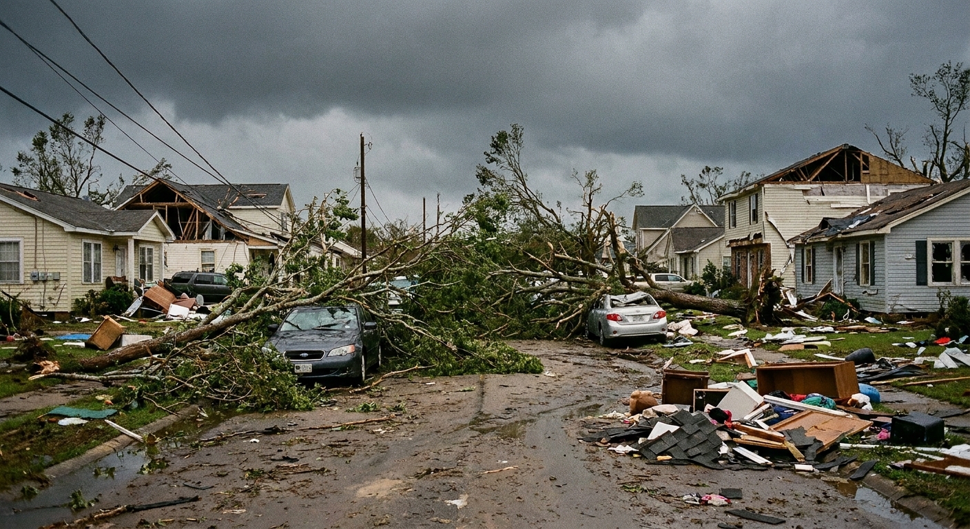
If the eyewall passes over you, conditions can go from terrifying to strangely calm within minutes. Winds drop. Rain may ease. In some cases, you can see brighter sky overhead. People have walked outside, started clearing debris, or driven onto roads because they assume the hurricane has ended.
But if you are in the eye, you are only at halftime.
What happens next
The back side of the eyewall arrives after the eye passes. Winds ramp back up quickly, and they often come from the opposite direction than before. That shift matters because:
- Trees and power lines already stressed one way can fail when pushed the other way.
- Loose debris can become airborne again, sometimes from a new angle that breaks windows that survived earlier.
- Emergency response can be delayed because the most hazardous conditions are not actually over.
In practical terms: if local officials tell you to shelter through the storm, the eye is not an all clear. The all clear comes from emergency management, not from a patch of calm air.
How big is the eye?
Hurricane eyes vary a lot. Some storms have a broad, well defined eye. Others have a tiny “pinhole” eye. Some have a messy center with no clear eye at all.
Many eyes are on the order of tens of kilometers across, but there is no single standard size. It depends on the storm’s intensity, internal dynamics, and environment.
What eye size can suggest
- Small, tight eyes often show up in very intense hurricanes, where the strongest winds are packed into a narrow ring.
- Larger eyes can occur in strong storms too, especially after structural changes like eyewall replacement cycles.
- Changing eye size can signal internal reorganization, which can affect intensity and wind distribution.
One important nuance: eye size alone does not determine category. Hurricane categories are based on sustained wind speed, not on the diameter of the eye. A storm can have a dramatic looking eye and still vary in strength, and a dangerous storm can have a less photogenic center.
Double eyewalls
Sometimes a hurricane develops two eyewalls: an inner eyewall and an outer eyewall. The outer one can choke off the inner one in what meteorologists call an eyewall replacement cycle.
During this process, the storm might:
- Weaken temporarily as the inner eyewall breaks down.
- Grow in size, spreading strong winds over a larger area.
- Reintensify after the outer eyewall becomes dominant, if environmental conditions support it.
This is one reason hurricane forecasting is not just about where the storm goes, but how its inner structure evolves. The eye you see on satellite is not just a pretty hole in the clouds. It is a clue about the storm’s current architecture.
Do all hurricanes have an eye?
No. A clear, well defined eye is most common in mature, organized hurricanes. Weaker tropical storms often have a broad, lopsided region of clouds and thunderstorms near the center with no stable eye.
Even strong storms can temporarily lose an eye if wind shear disrupts the structure or if dry air gets pulled in. And some systems have a “ragged eye” that comes and goes as convection pulses.
Quick safety takeaways
- Calm weather during a hurricane can be the eye, not the end.
- The eyewall is the worst zone, and it can hit twice if the eye passes over you.
- Wind direction can reverse after the eye, which can increase damage.
- Do not go outside until officials say it is safe, even if the sky looks better.
FAQ
Is the eye always blue sky?
No. The eye can be clear, partly cloudy, or filled with low clouds. The “clear eye” look depends on how strongly air is sinking in the center and how much moisture remains there.
Is it safe inside the eye?
It can feel safer because winds weaken, but it is not truly safe. The second half of the storm is approaching, and conditions can deteriorate fast. Treat the eye as a short lull, not a break.
Does a bigger eye mean a stronger hurricane?
Not necessarily. Strength is tied to wind speed and pressure structure, not just eye diameter. Eye size can hint at how winds are distributed and whether the storm is reorganizing, but it is not a simple strength gauge.
Why do winds get stronger near the eyewall?
In general, winds accelerate where the pressure changes most rapidly over distance. The region near the eyewall often has a steep pressure gradient and intense convection, both of which support very strong winds.