Curiosity, with all its quills showing.
The wind is invisible, but it leaves fingerprints everywhere: a ripple that sketches itself across a harbor, a tree canopy that suddenly starts to roar, a flag that snaps tight and refuses to rest. The Beaufort wind scale is a way to read those fingerprints. It turns observed conditions into a standard estimate of wind strength, from calm (Force 0) to hurricane force (Force 12).
One important sorting moment before we begin: the Beaufort scale is not the Enhanced Fujita (EF) scale for tornado damage, and it is not the Saffir-Simpson Hurricane Wind Scale for hurricanes. Those are different tools designed for different questions. Beaufort is an observer scale, built to connect what you can see to what the wind is doing.

What it measures
The Beaufort scale classifies wind speed into 13 levels labeled Force 0 through Force 12. Each force corresponds to a wind speed range and a set of typical, visible effects.
Two versions of the clues have historically mattered:
- Sea state clues, originally for sailors estimating wind without instruments: ripples, whitecaps, foam, spray, and wave shape.
- Land clues, later added for broader use: smoke drift, leaves and twigs moving, branches swaying, difficulty walking, and minor structural impacts.
Today, weather stations measure wind with anemometers, but Beaufort remains useful as a shared shorthand for field observation, especially when instruments are absent, damaged, or far away from the spot you care about.
Beaufort scale 0 to 12
Below is a practical reference for each Beaufort force, using commonly cited wind ranges aligned with modern WMO and NOAA Beaufort equivalents and rounded to whole miles per hour. Because you will see slightly different tables depending on unit system and rounding, treat the mph numbers as best-fit ranges, not holy writ. Real conditions also vary with fetch (how much open water the wind has traveled over), terrain, and gustiness.
How to use this list: start with the closest match you can see on land or sea, then sanity-check the force just above and below. Borderline days live in the neighbors.
Force 0: Calm (0 to 1 mph)
- Sea: Mirror-like surface.
- Land: Smoke rises straight up; leaves are still.
Force 1: Light air (1 to 3 mph)
- Sea: Ripples without foam crests.
- Land: Smoke drift shows wind direction; wind felt on face.
Force 2: Light breeze (4 to 7 mph)
- Sea: Small wavelets; crests begin to appear but do not break.
- Land: Leaves rustle; wind moves vanes; light flags begin to stir.
Force 3: Gentle breeze (8 to 12 mph)
- Sea: Large wavelets; crests start to break; scattered whitecaps.
- Land: Leaves and small twigs in constant motion; flags extend more fully.
Force 4: Moderate breeze (13 to 18 mph)
- Sea: Small waves with fairly frequent whitecaps.
- Land: Dust and loose paper lift; small branches move.
Force 5: Fresh breeze (19 to 24 mph)
- Sea: Moderate waves; many whitecaps; some spray.
- Land: Small trees begin to sway; you can hear a steady wind in foliage.
Force 6: Strong breeze (25 to 31 mph)
- Sea: Larger waves; extensive white foam; spray more likely.
- Land: Large branches move; umbrellas become troublesome; whistling in wires may be heard.
Force 7: Near gale (32 to 38 mph)
- Sea: Sea heaps up; foam streaks begin to align with the wind; spray reduces visibility at times.
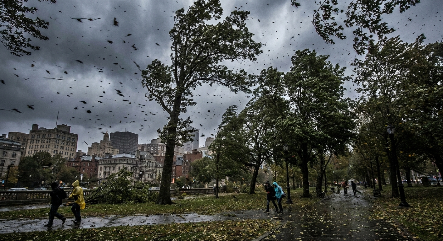
- Land: Whole trees move; walking becomes noticeably difficult against the wind.
Force 8: Gale (39 to 46 mph)
- Sea: Moderately high waves; crests break into spindrift; foam streaks are well marked.
- Land: Twigs can break from trees; walking is difficult; unsecured objects shift.
Force 9: Strong gale (47 to 54 mph)
- Sea: High waves; dense foam streaks; visibility reduced by spray.
- Land: Minor structural damage becomes possible; shingles or loose roofing can be affected; trees may begin to suffer damage.
Force 10: Storm (55 to 63 mph)
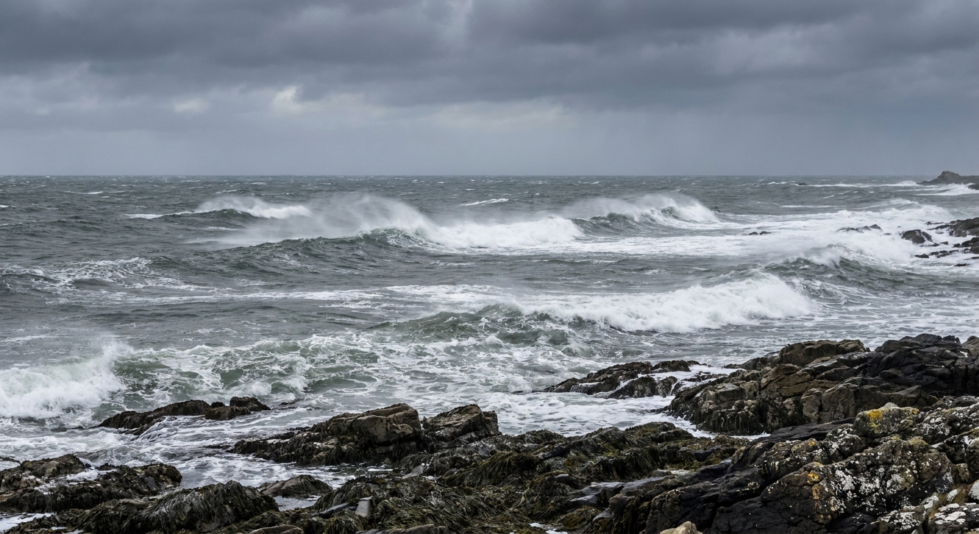
- Sea: Very high waves; long overhanging crests; heavy rolling; widespread spray.
- Land: Some trees may be uprooted in exposed or saturated ground; movement is difficult; more significant damage becomes possible to weak structures.
Force 11: Violent storm (64 to 72 mph)
- Sea: Exceptionally high waves; sea covered with long white patches of foam; severe spray and poor visibility.
- Land: Widespread damage becomes likely, especially to trees and poorly built structures; travel can be dangerous.
Force 12: Hurricane force (73 mph and higher)
- Sea: Air filled with foam and spray; sea surface can look white; extremely poor visibility.
- Land: Severe and widespread damage possible; debris becomes a major hazard.
A note on units: Many maritime forecasts use knots (kt) or meters per second (m/s). If you think in knots, a quick mental handle is 1 kt is about 1.15 mph. If you think in m/s, 1 m/s is about 2.24 mph. The force categories do not change, only the unit labels do.
A note on gusts and “sustained” wind: Beaufort is meant to reflect a representative or mean wind, not the single sharpest gust. In practice, “sustained” can be a 10 minute mean in some standards and a 1 minute average in others. Your lived experience often tracks the gusts, so a place can briefly feel like a higher force even when the mean wind belongs to a lower one.
Beaufort vs EF and Saffir-Simpson
These scales get mixed up because they all involve strong winds, but they are built for different evidence and different situations.
- Beaufort wind scale: An observation-based wind strength scale using visible effects on the sea and on land. It helps estimate wind speed when you do not have a reliable instrument reading.
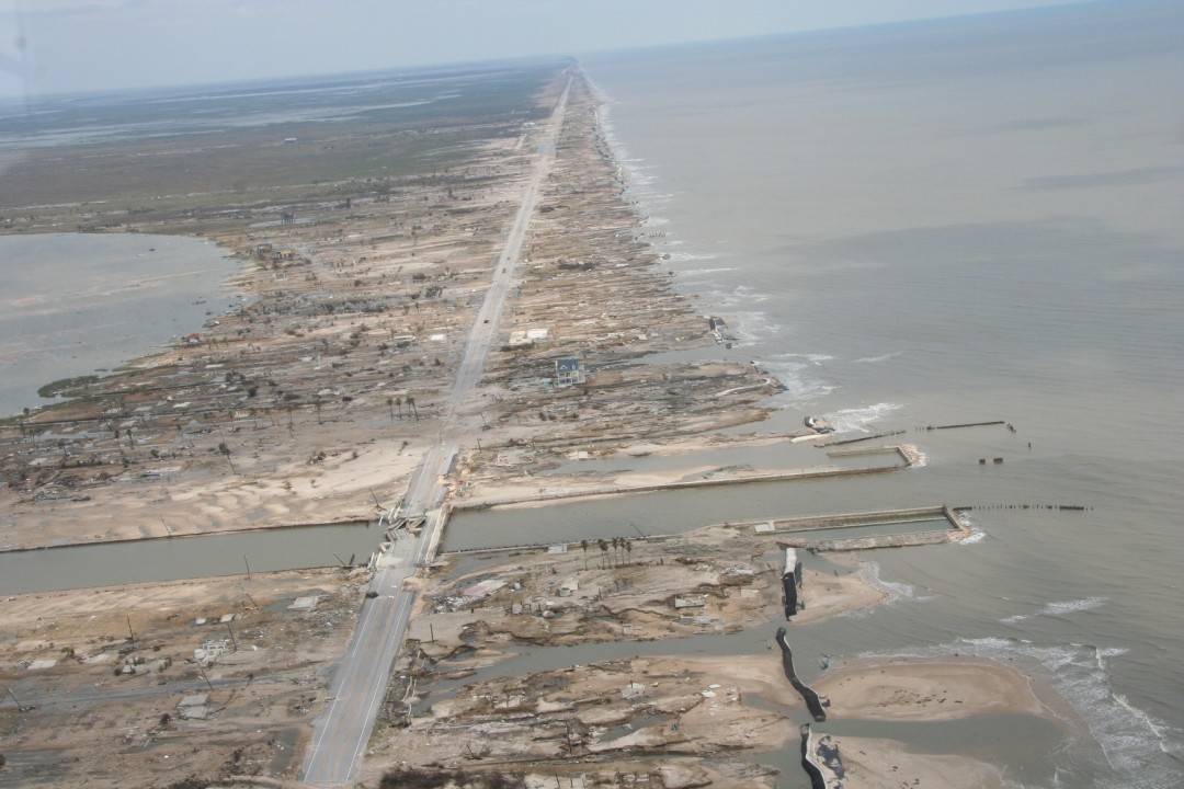
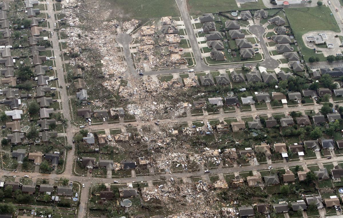
- Enhanced Fujita (EF) scale: A damage-based scale for tornadoes. EF ratings come from what a tornado did to structures and vegetation, not from direct wind measurements in most cases.
- Saffir-Simpson Hurricane Wind Scale: A hurricane classification system based on sustained wind speed for tropical cyclones, used for categories 1 through 5. It does not try to describe local sea state or everyday land clues.
So if your question is “What does this wind feel like right here, right now, based on what I can see?” that is Beaufort territory.
Why it still matters
Instruments are wonderful, but they have limits. Wind varies sharply over short distances due to terrain, buildings, and elevation. A weather station at an airport, on a buoy, or at a hilltop may not match what is happening on your street or on your stretch of water.
The Beaufort approach gives you a shared vocabulary for describing conditions in a way others can understand: not just “windy,” but “enough wind for frequent whitecaps,” or “enough wind that walking into it is difficult.” Those descriptions are surprisingly informative, and they help bridge the gap between lived weather and measured weather.
Limits to keep in mind
Beaufort is a powerful shorthand, but it is still shorthand.
- Local terrain can cheat the scale. Wind tunnels between buildings, gaps in hills, and tree cover can make one spot feel like Force 6 while a nearby open area reads Force 4.
- Short-lived events can spike the feel. Squalls, gust fronts, and downslope winds can bring bursts that are real and consequential but not well captured by a single “typical” force.
- Sea state lags the wind. Waves take time to build and time to settle. After a wind shift or a sudden lull, the water may still be telling a story from 30 minutes ago.
Quick tips
- Look for multiple clues. One sign can mislead. Combine at least two: flags plus trees, or whitecaps plus spray.
- Mind the setting. Urban streets create wind tunnels; forests dampen wind at ground level; open fields show it more honestly.
- Over water, fetch matters. Short fetch limits wave growth, so the sea may look calmer than the wind speed suggests.
- Separate mean wind from bursts. If the wind repeatedly surges and eases, you may be experiencing gusts that temporarily mimic a higher force.
FAQ
Is this the same as “hurricane force winds”?
Beaufort includes a top category called Force 12: hurricane force, defined as 73 mph and higher in commonly used tables. That does not mean a hurricane is present. It means the wind speed is in the hurricane-force range, regardless of the weather system causing it.
Can I convert Beaufort force to mph exactly?
You can convert using standard ranges, but it is not exact like reading a thermometer. Beaufort is a classification system. Use it as an estimate, and expect overlap when conditions are borderline or gusty.
What Beaufort number is “gale”?
In Beaufort terms, gale is typically Force 8 (about 39 to 46 mph). Force 7 is near gale, and Force 9 is strong gale.
Does the Beaufort scale apply on land as well as at sea?
Yes. It began as a maritime scale, but it is widely used with land-based observation clues such as leaf movement, branch motion, and difficulty walking.