The first time I saw a waterspout in person, my teacher brain did that annoying thing where it tries to turn awe into a lesson plan. The sky was bright, the lake looked calm, and then, off in the distance, a skinny gray tube connected a small patch of churning water to a puffy cloud overhead. It looked like a tornado that had wandered onto the wrong stage.
That instinct is not totally wrong. A waterspout is a rotating column of air over water, and some waterspouts really are tornadoes that happen to be over a lake or ocean. Others are a different breed, built from gentler weather and warm water. Either way, if you are on a boat, you treat it like the atmosphere just raised a bright red flag.
Waterspout, defined
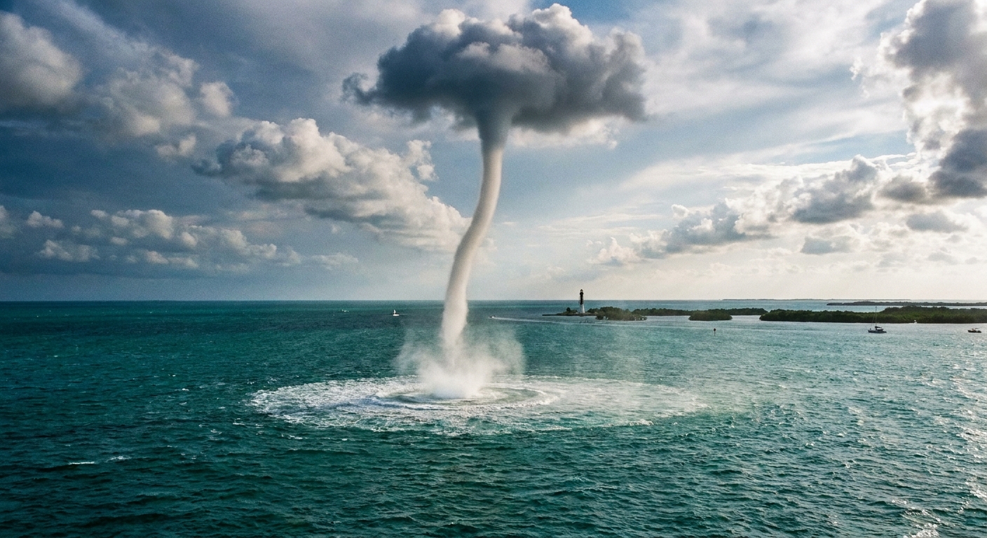
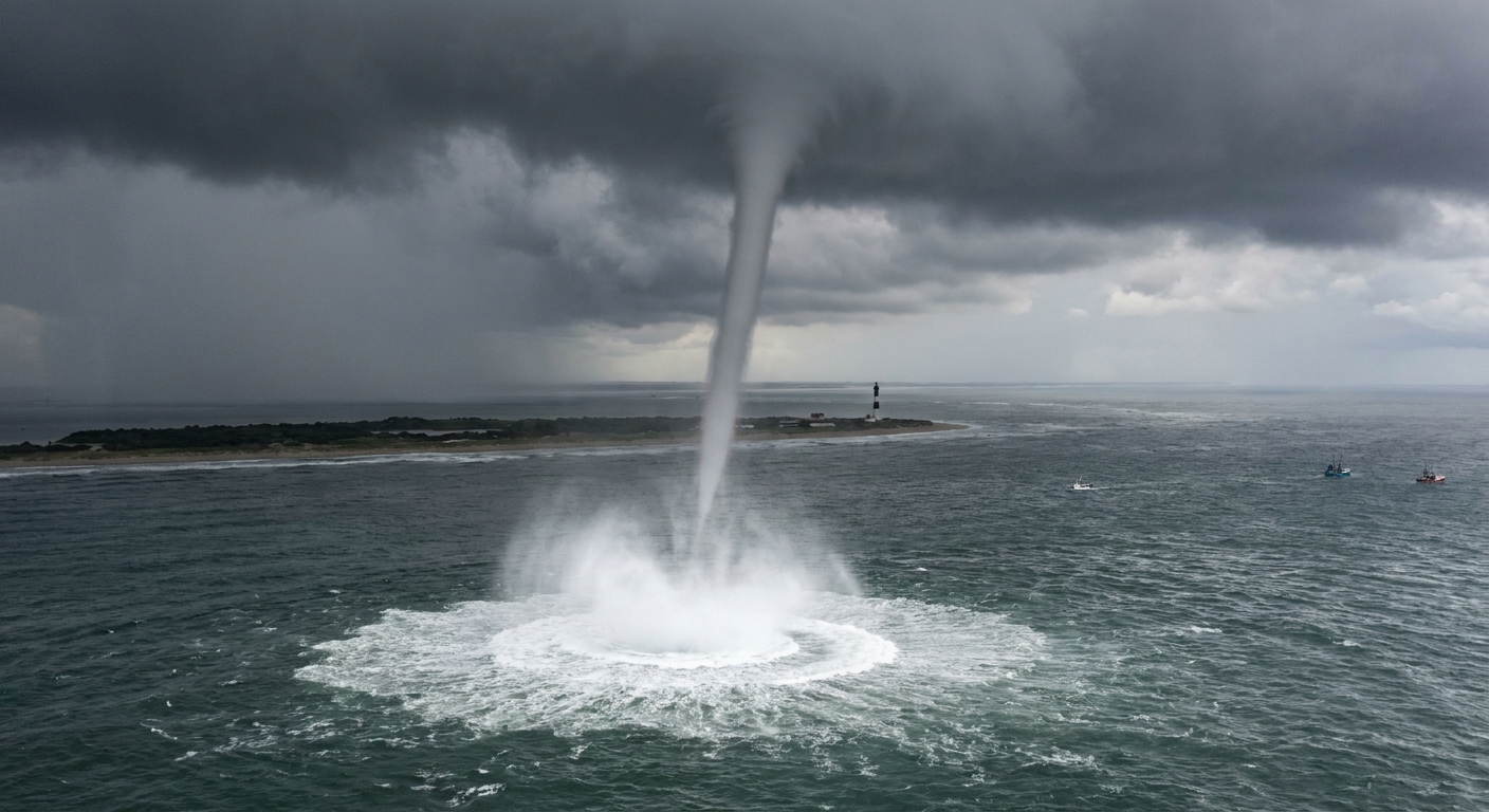
A waterspout is a spinning vortex of air that forms over a body of water and is often visible as a funnel or tube stretching between a cloud and the water surface. At the surface, the circulation can whip up a bright, frothy patch of spray that sometimes looks like a pale donut or splashy “footprint.”
Two key ideas help keep the definition grounded:
- Rotation is the point. Lots of weather features create streaks of rain or wisps of cloud. A waterspout is specifically a vortex, meaning the air is spinning around a central axis.
- “Over water” is the difference in name, not necessarily in physics. Some waterspouts are essentially tornadoes that are located over water and tied to thunderstorms. Others form without a severe thunderstorm at all.
Two types
Meteorologists usually split waterspouts into two categories based on how they form and what kind of storm environment they come from.
Fair-weather waterspouts
Fair-weather waterspouts typically develop under growing cumulus clouds or weak rain showers, often when the surrounding weather feels more “summer afternoon” than “severe storm warning.” Despite the name, they are not guaranteed to form in perfectly fair skies. The label mainly means they are not directly tied to a rotating severe thunderstorm.
Common traits:
- Often form over warm water when the air above is relatively cooler.
- May develop with light to moderate winds and relatively modest instability.
- Often on the weaker end of the spectrum, but still capable of dangerous winds and rough conditions for small craft.
- Can last from a few minutes to sometimes longer if conditions stay supportive.
Tornadic waterspouts
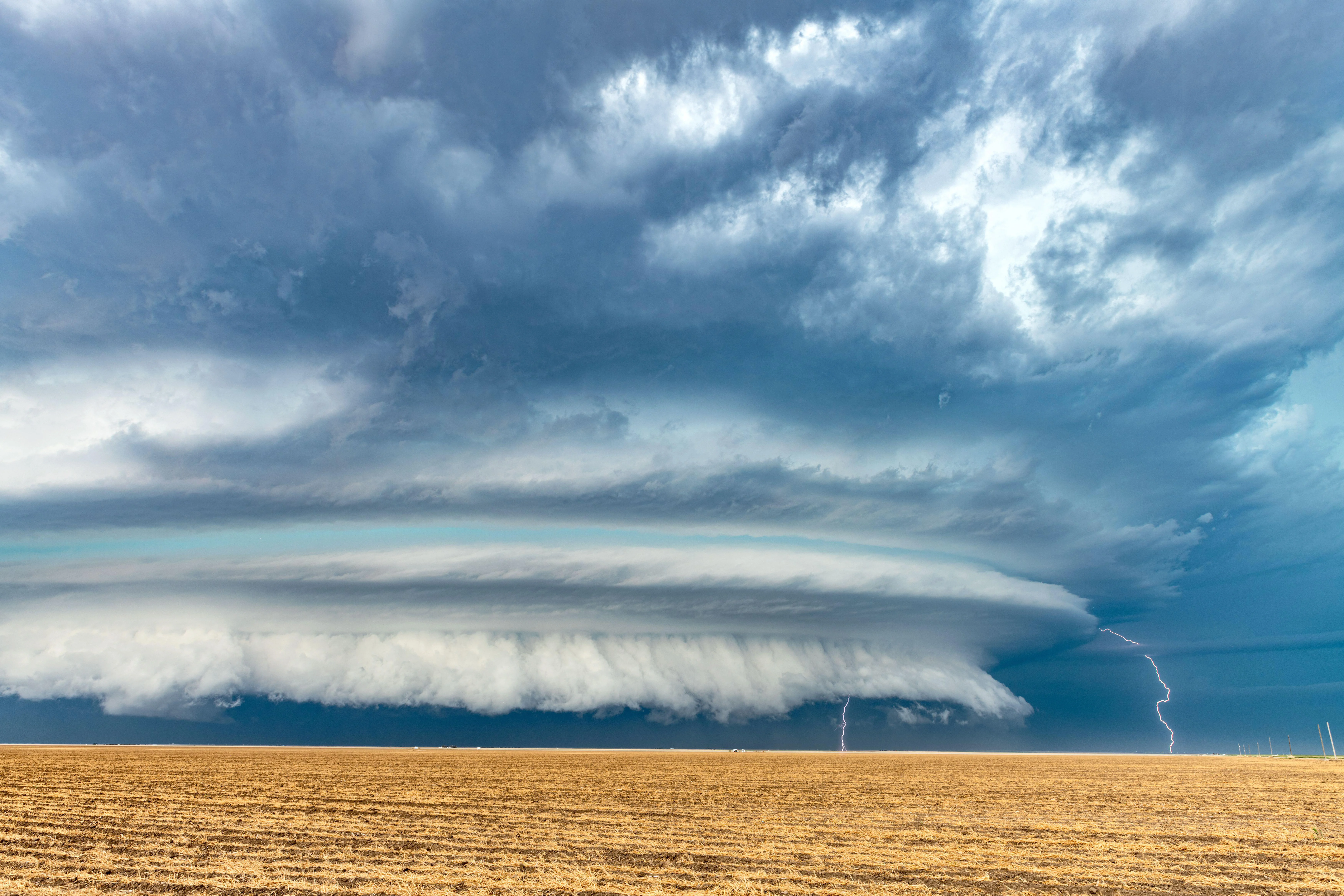
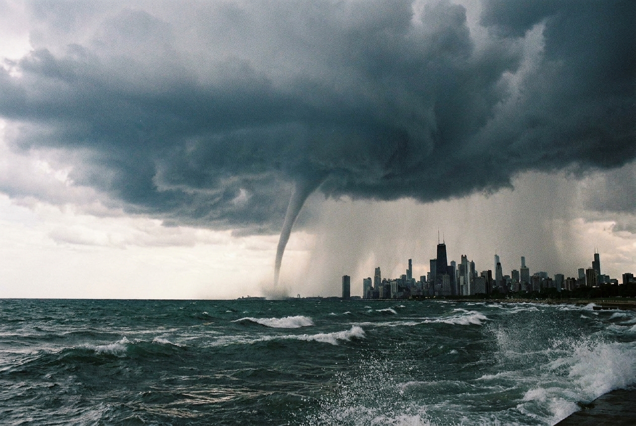
Tornadic waterspouts are, in plain language, tornadoes over water. They are associated with stronger thunderstorms, including supercells or other organized severe storms, and they fit the same general warning mindset as tornadoes on land.
Common traits:
- Form from thunderstorms that can also produce hail, damaging straight-line winds, and lightning.
- Can be stronger and more destructive than fair-weather waterspouts.
- May move onshore and become a land tornado without much warning for people along the coast or lakefront.
How fair-weather ones form
Let’s build the mental model without turning this into a fluid dynamics textbook.
Start with warm water. Warm water heats the air just above it, making that air more buoyant. Buoyant air rises and can feed a growing cloud. Meanwhile, near the surface, light wind shifts can create small pockets of spin, like little invisible whirlpools in the air.
If a developing cloud provides enough upward pull, that pre-existing spin can get stretched upward. Here is the physics-teacher trick: when you stretch a spinning column, it tends to spin faster, a bit like a figure skater pulling in their arms. As air rises in the vortex, it cools, moisture condenses, and the spin becomes visible as a funnel.
Not every fair-weather waterspout follows the exact same steps, but that combination of surface-based rotation plus updraft stretching is the heart of it.
How tornadic ones form
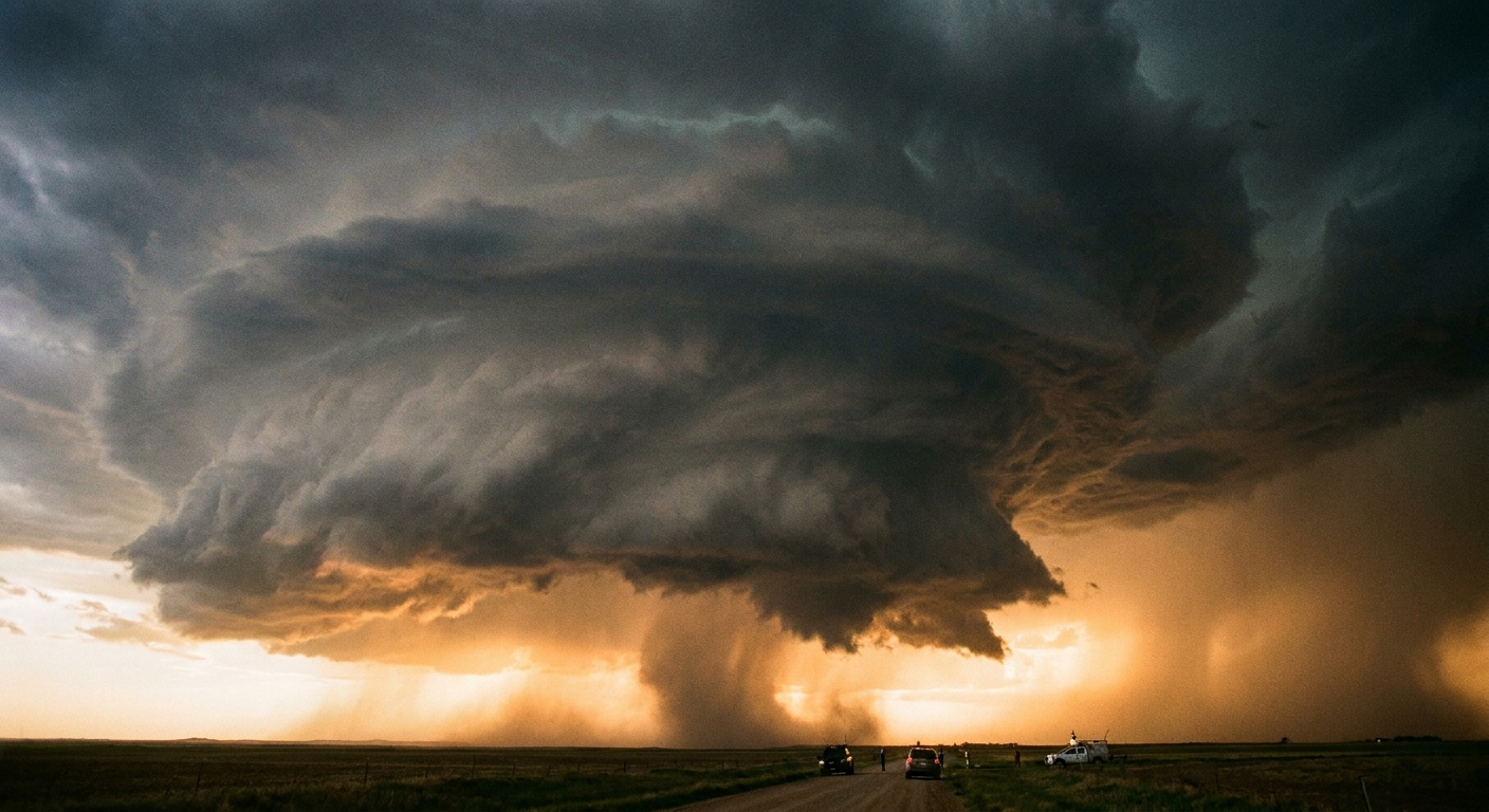
Tornadic waterspouts come from the same broad playbook as tornadoes over land: a thunderstorm with strong rising motion organizes rotation in and near the storm. That rotation can tighten into a tornado vortex. The difference is simply that the vortex is located over water.
Because they are embedded in stronger storms, tornadic waterspouts may come with extra hazards that have nothing to do with the funnel itself, including frequent lightning, sudden wind shifts, and heavy rain that can shred visibility on the water.
What they look like
Waterspouts come in a variety of shapes, but a few visual clues show up often:
- A spray ring or “splashy patch” on the water where winds whip up droplets.
- A thin funnel that can be rope-like and pale gray, sometimes darker if it is wrapped in rain.
- A parent cloud overhead, ranging from a puffy cumulus to a dark thunderstorm base.
A useful nuance: you might see the spray and swirling water before the funnel fully connects visually. That does not mean it is harmless. The circulation can be present even when the condensation funnel is faint or incomplete.
Are waterspouts dangerous?
They can be. The biggest risk depends on what is in their path and what else is happening in the storm around them.
Risks for boaters
- Strong winds: Even weaker spouts can produce winds capable of capsizing or swamping small boats, especially if the water is already choppy.
- Sudden wave action: The rotating winds can roughen the surface quickly and unpredictably.
- Reduced visibility: Spray and rain curtains can make it hard to judge distance and motion, which matters a lot when you are trying to steer away.
- Lightning and severe weather: This is especially true for tornadic waterspouts linked to thunderstorms.
Can one come onshore?
Yes. Both types can move toward land with the winds that are steering them. A fair-weather waterspout often weakens after it moves inland because it loses the warm, moist boundary layer and the surface setup that helped it spin up, but it can persist briefly over land. A tornadic waterspout can remain dangerous on land because it is supported by the parent thunderstorm’s structure.
What to do if you see one
I cannot give individualized safety advice for every vessel and every coastline, but the general playbook from marine weather safety guidance is consistent: create distance early and do not try to “thread the needle.”
- Assume it is stronger than it looks. Distance is your friend.
- Turn away early and give it wide berth. Avoid passing close to its path or trying to cross in front of it.
- Watch the whole sky, not just the funnel. If a thunderstorm is involved, lightning risk can be the immediate danger.
- Use marine forecasts and radar when available. Waterspouts often form in environments where conditions can change quickly.
One lightning rule that is boring but useful: if you can hear thunder, you are close enough to be struck. Get off the water and into a sturdy shelter if you can.
If you are onshore, stay back from the waterline, keep an eye on storm motion, and move indoors if thunderstorms are nearby.
Warnings and timing
In practice, waterspouts often show up during warm-season patterns when water temperatures are up and daytime heating helps build clouds. Places like the Florida Keys, the Gulf Coast, and the Great Lakes get plenty of attention because people notice them, but waterspouts can occur worldwide wherever the setup is right.
From a safety standpoint, it helps to know that waterspouts can trigger formal alerts. Tornadic waterspouts may be covered by tornado warnings (or warnings that treat them similarly), while fair-weather waterspouts are often handled with special marine warnings or similar marine advisories, depending on the forecast office and conditions.
Waterspout vs. tornado vs. funnel
These terms get swapped around a lot because the shapes can look similar.
- Funnel cloud: a visible funnel-shaped condensation feature that may or may not be in contact with the surface. The rotation can exist even if you cannot see a full connection.
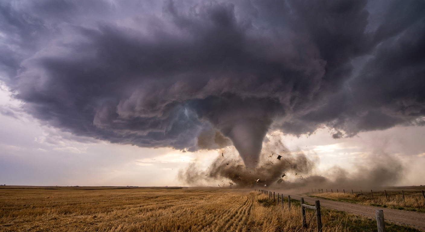
- Tornado: a rotating column of air in contact with the surface, typically under a thunderstorm.
- Waterspout: a rotating column of air over water. Some waterspouts are tornadic, meaning they are literally tornadoes occurring over water. Others are fair-weather waterspouts that form without a severe thunderstorm.
If you want the most practical takeaway: if there is a spinning column over the water near you, the label matters less than the response. Treat it as a serious marine hazard.
FAQ
How long do waterspouts last?
Many last on the order of minutes. Some persist longer if the environment stays supportive and the parent cloud continues feeding the circulation.
Where are waterspouts most common?
They are observed in many parts of the world. Warm-season conditions over relatively warm water commonly support fair-weather waterspouts, while tornadic waterspouts can occur anywhere severe thunderstorms move over water, including coastal areas and large lakes.
Do waterspouts “suck up” water?
They can loft spray and droplets, but think of the visible water at the surface as wind-whipped spray rather than a giant straw pulling up a continuous column of ocean. The main feature is still an air vortex.
Can a waterspout sink a boat?
A direct encounter can be dangerous, especially for small craft. Strong winds, steep chaotic waves, and loss of control are the big risks. The safest strategy is avoidance.