I used to tell my physics students that air pressure is like the atmosphere’s “budget sheet.” When pressure plummets fast, the atmosphere is rapidly rearranging energy and momentum, and we feel the result as a storm that ramps up in a hurry.
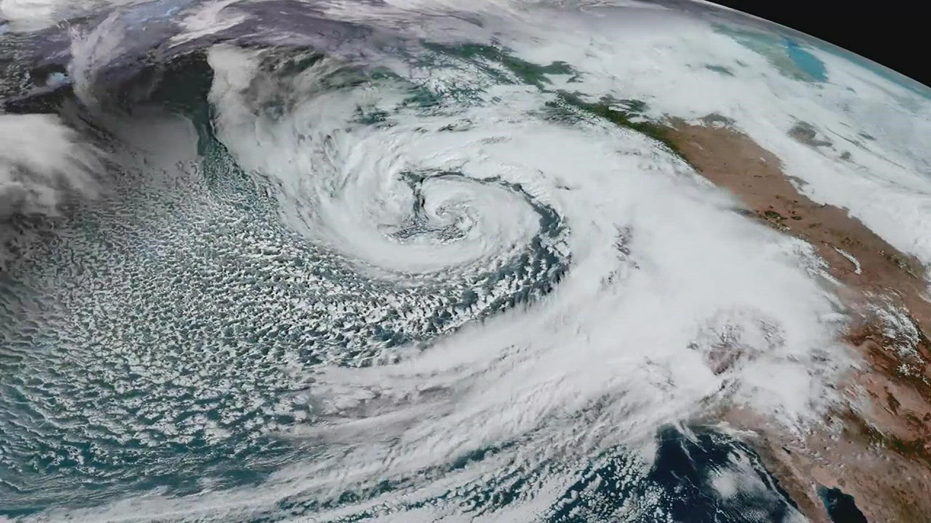
A bomb cyclone is not a special species of storm the way a hurricane is. It is a threshold label for an ordinary midlatitude (extratropical) low pressure system that intensifies extremely quickly.
The definition: explosive cyclogenesis
Meteorologists call the process behind a bomb cyclone explosive cyclogenesis, meaning a storm’s central pressure deepens rapidly.
The classic textbook definition is based on how many millibars (mb), also called hectopascals (hPa), the central sea-level pressure falls in 24 hours. The benchmark is:
24 mb in 24 hours at 60° latitude.
Because Earth’s rotation effects vary with latitude, the threshold is adjusted by latitude using a simple scaling. This is a widely used meteorological convention (often traced to the research literature on rapid cyclone development), not a hard law of nature:
Bomb threshold (mb / 24 h) = 24 × (sin φ / sin 60°)
Here, φ is the storm’s latitude. This is why you may see different numbers quoted depending on where the storm is.
What the latitude adjustment looks like
- Around 60° (southern Alaska, parts of Canada, Scandinavia): about 24 mb in 24 hours.
- Around 45° (Pacific Northwest, Great Lakes, northern New England, much of Europe): about 19 mb in 24 hours.
- Around 30° (Gulf Coast, northern Mexico, Mediterranean): about 14 mb in 24 hours.
So when you hear “bomb cyclone,” it is shorthand for: this extratropical low’s pressure is dropping fast enough to cross the explosive cyclogenesis threshold at its latitude.
Why pressure falls matter
Pressure itself is not the thing knocking over trash cans. The key is what a rapid pressure fall usually creates: a strong pressure gradient, meaning big pressure differences over relatively short distances.
Air accelerates from higher pressure toward lower pressure, and the tighter the gradient, the faster the wind can blow. In an explosively deepening storm, those gradients can tighten quickly, and winds can surge over a few hours instead of slowly building over a day or two.
One detail that helps this click: the strongest winds are often not right at the center. In many extratropical lows, the peak gusts show up in favored sectors around the storm, depending on the fronts, the jet stream setup, and where mixing brings fast winds down to the surface.
Typical impacts you might notice
- Damaging winds inland, including gusts capable of downing trees and power lines.
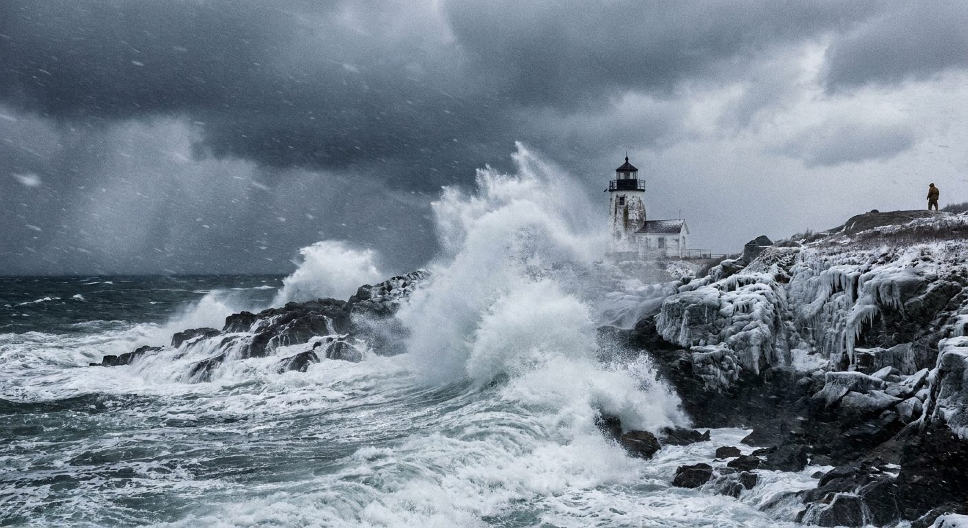
- High surf and hazardous seas offshore, especially when the storm’s winds have a long fetch over open water.
- Coastal flooding from storm surge and wave run-up, particularly if the storm arrives at high tide (storm tide is the combination of surge and tide).
- Heavy precipitation that can be rain, snow, or mixed, depending on the temperature profile.
- Rapidly changing forecasts, because a storm that deepens faster than expected can shift the wind field and precipitation bands.
Does “bomb” mean stronger?
Not automatically. “Bomb” describes how fast the storm intensifies, not a guaranteed peak strength.
A storm can qualify as a bomb cyclone because its pressure fell rapidly, yet still end up less disruptive than a slower-developing storm that stalls over the same area for two days. The atmosphere cares about more than one number.
Think of it like a sourdough starter (stay with me): fast bubbling tells you the yeast is active, but it does not guarantee the final loaf will be the biggest. Speed is information, not the whole story.
A common misconception
A bomb cyclone can deepen over the ocean and never make landfall. It can also produce mostly rain rather than snow. The label is about the rate of pressure fall, not where it tracks or whether it becomes a blizzard.
Bomb cyclone vs hurricane
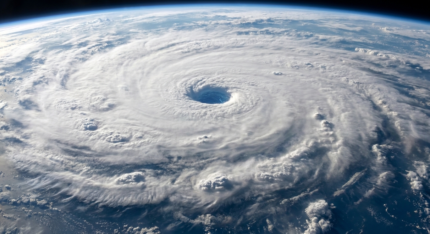
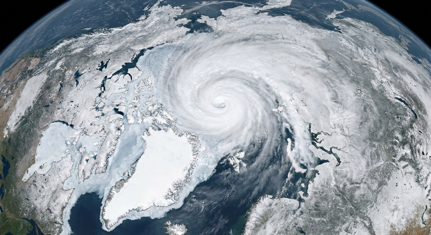
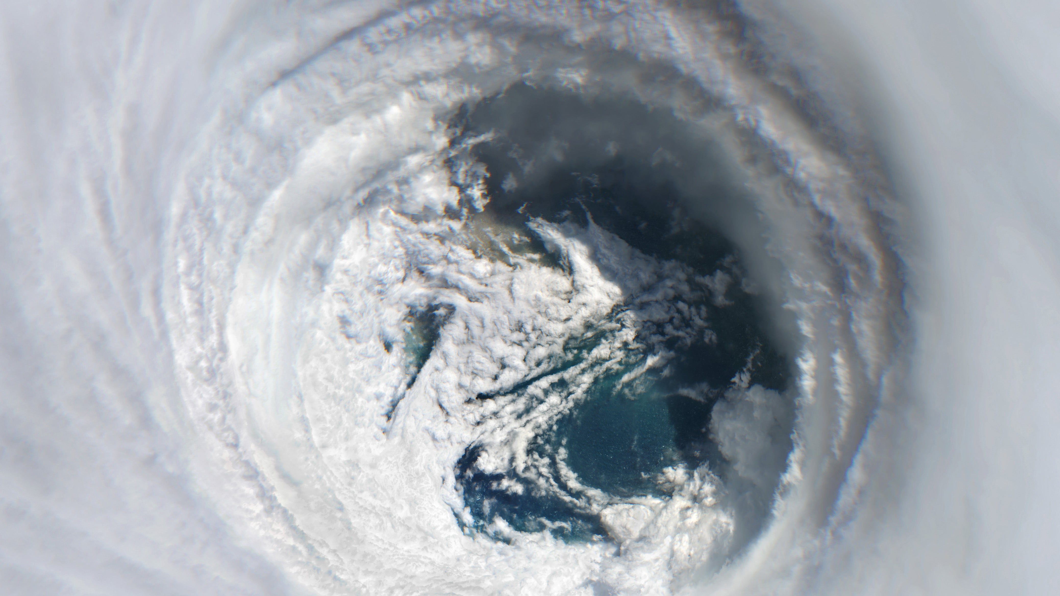
This mix-up is common because both can be intense and both can produce dramatic satellite views. But a bomb cyclone is extratropical, while a hurricane is tropical, and they are powered differently.
Key differences
- Energy source: Hurricanes feed on warm ocean water and release heat from condensation in deep thunderstorms. Bomb cyclones intensify mainly through temperature contrasts between air masses and jet stream dynamics, and latent heat release from condensation can also contribute substantially in many cases.
- Structure: Hurricanes are typically more symmetric with a warm core and can have an eye. Bomb cyclones usually have fronts and are typically cold-core overall, though the inner-core structure can evolve in some storms (for example, warm-seclusion features can develop).
- Where they form: Hurricanes form over warm tropical or subtropical waters. Bomb cyclones commonly form in the midlatitudes, often over the ocean where contrasts and upper-level support are strong.
- Wind distribution: Hurricanes concentrate the strongest winds near the eyewall. Bomb cyclones can spread strong winds over a much larger area, sometimes hundreds of miles from the center.
Bottom line: a bomb cyclone can reach hurricane-force winds in places, but it is not a hurricane unless it meets tropical cyclone criteria, which is a different classification system.
Bomb cyclone vs nor’easter
A nor’easter is a regional name for a storm along the U.S. East Coast where the surface winds often blow from the northeast, especially for coastal locations.
A nor’easter describes where the storm is and the wind direction pattern it tends to bring. A bomb cyclone describes how quickly the storm intensifies.
How they overlap
- A nor’easter can become a bomb cyclone if its central pressure falls fast enough.
- A bomb cyclone does not have to be a nor’easter. It might be over the North Pacific, the North Atlantic, or over land.
- Many nor’easters never meet the bomb threshold, but they can still deliver big impacts through moisture supply, blocking patterns, and slow movement.
If you want a quick mental model: nor’easter is a location and wind setup; bomb cyclone is a rapid-intensification badge that any qualifying extratropical low can earn.
What causes rapid deepening?
Explosive cyclogenesis is most likely when several ingredients line up:
- Strong temperature contrast (baroclinicity): cold air colliding with warm air provides fuel for midlatitude storms.
- Jet stream support aloft: upper-level divergence can help air evacuate from the top of the storm, allowing surface pressure to fall.
- Plenty of moisture: condensing water vapor releases heat, which can further intensify the storm and strengthen precipitation bands.
- Ocean influence: storms over water often have more moisture and less surface friction than over land, which can aid strengthening and expand wind fields.
When those factors sync up, the storm’s pressure can drop rapidly, tightening gradients and supercharging winds and waves.
How to spot one in forecasts
Forecast discussions and maps often hint at bomb-cyclone potential even if the phrase is not used.
- Look for a deepening “L” with tightly packed isobars on surface pressure maps.
- Watch the pressure trend: phrases like “rapid deepening,” “explosive development,” or “deepening 20 mb in 24 hours” are giveaways.
- Read marine and coastal products if you live near the ocean. The biggest dangers can be waves, surge, and erosion, not just rain or snow.
And a practical tip from my classroom days: if the forecast mentions pressure falling unusually fast, treat it as a heads-up that conditions may deteriorate quickly, sometimes faster than your mental storm timeline expects.
Quick FAQ
Is “bomb cyclone” a scientific term?
The scientific term is explosive cyclogenesis. “Bomb cyclone” is a popular nickname for a storm meeting that rapid pressure-fall threshold.
Does a bomb cyclone always mean blizzard conditions?
No. It can bring heavy snow if cold air is in place, but many bomb cyclones produce mainly rain, especially near coasts or in warmer seasons.
Can climate change affect bomb cyclones?
Researchers study how warming oceans, changing jet stream patterns, and shifting temperature gradients may influence storm intensity and precipitation. The big picture is nuanced: warming can add moisture to storms, which can increase heavy precipitation potential, while changes in temperature contrasts and atmospheric circulation can push in different directions depending on region and season.
What should I do if one is forecast?
Follow local weather alerts and plan for power outages if high winds are likely. Secure loose outdoor items, and be cautious if you drive a high-profile vehicle, since gusts can be strong and sudden.
If you are near the shoreline, take coastal warnings seriously and avoid wave-swept rocks and jetties. Those “sneaker” impacts are not sneaky to physics, but they can be to humans. And anywhere you are, treat downed power lines as energized and stay well clear.