The first time I watched a class of teenagers “feel” sea level rise, it was with a lab beaker and a heat lamp. We warmed the water, marked the level, and watched the meniscus creep upward. No melting ice. No drama. Just physics. That quiet creep is one of the reasons the real ocean is rising, too, a simplified, classroom-sized version of thermal expansion.
But the full story is a budget, not a single villain. Climate scientists tally up where the extra height comes from, then cross-check it against what satellites and tide gauges actually observe. The big contributors are ocean warming (thermal expansion), melting glaciers, and the loss of the Greenland and Antarctic ice sheets. And then there is the twist: your local shoreline can experience sea level rise that is faster or slower than the global average, even in the same decade.
The sea-level budget
“Sea level rise” usually means global mean sea level: the average height of the ocean surface across the planet. Think of it as taking a conceptual, statistical ruler to the whole ocean at once, smoothing out waves, tides, and storms.
Scientists explain long-term rise by balancing a “budget” with three main terms:
- Thermal expansion: seawater takes up more space as it warms.
- Melting glaciers: mountain glaciers and ice caps add water to the ocean.
- Ice-sheet loss: Greenland and Antarctica lose land ice to the ocean through surface melting, runoff, and ice flow.
There are other smaller line items, such as changes in water stored on land (in reservoirs, groundwater, and soils), but the three above do most of the heavy lifting over decades.
Thermal expansion
Water is not perfectly “incompressible” in everyday terms. Warm it up and the molecules jostle a bit farther apart. In the ocean, that adds up to a lot of extra volume, because we are warming an enormous amount of water, not a glass.
Why it can keep going
The ocean is a slow heat sponge. It takes time for heat to mix downward, and it also takes time for the ocean to adjust its density structure. That is why thermal expansion can keep contributing to sea level rise for years to decades, even if surface temperatures slow down or briefly change direction.
Where warming matters most
Expansion is not uniform. It depends on temperature, salinity, and pressure. Warm tropical surface waters expand differently than cold, salty polar waters. That unevenness becomes important later, because it helps shape regional sea level patterns through currents and density gradients.
Melting glaciers
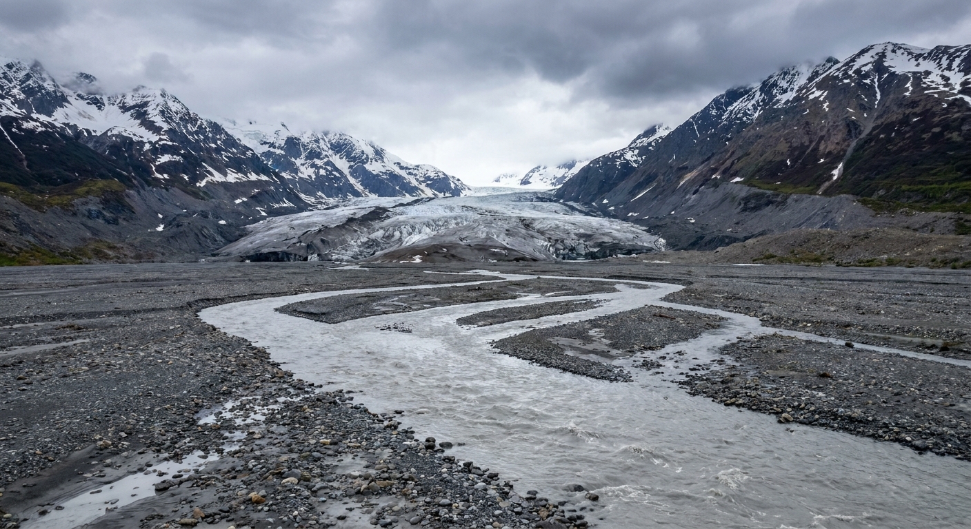
When a mountain glacier loses ice that was sitting on land, that meltwater eventually makes its way into rivers and oceans. This is the simplest-to-picture contributor: add water to a bathtub, the water level rises.
Glaciers respond to climate in a way that can feel personal and local. A slightly warmer summer can push a glacier into more melt. A warmer winter can shift precipitation from snow to rain, starving the glacier of its “recharge.” Across the world, the combined effect has been a significant addition to ocean mass.
Why sea ice is different
Floating sea ice, like much of the Arctic’s summer ice, already displaces water. When it melts, it does not significantly raise sea level, for the same reason an ice cube melting in a drink does not overflow the glass.
The sea level problem is primarily land ice melting and flowing into the ocean.
That said, losing sea ice still matters. It can speed warming by reducing Earth’s reflectivity and can help set the stage for more land-ice loss, which does raise sea level.
Ice sheets
If glaciers are like neighborhood savings accounts, the Greenland and Antarctic ice sheets are the central banks. They store enough frozen water to reshape coastlines worldwide, and their losses are a major focus of modern sea level science.
How ice sheets lose mass
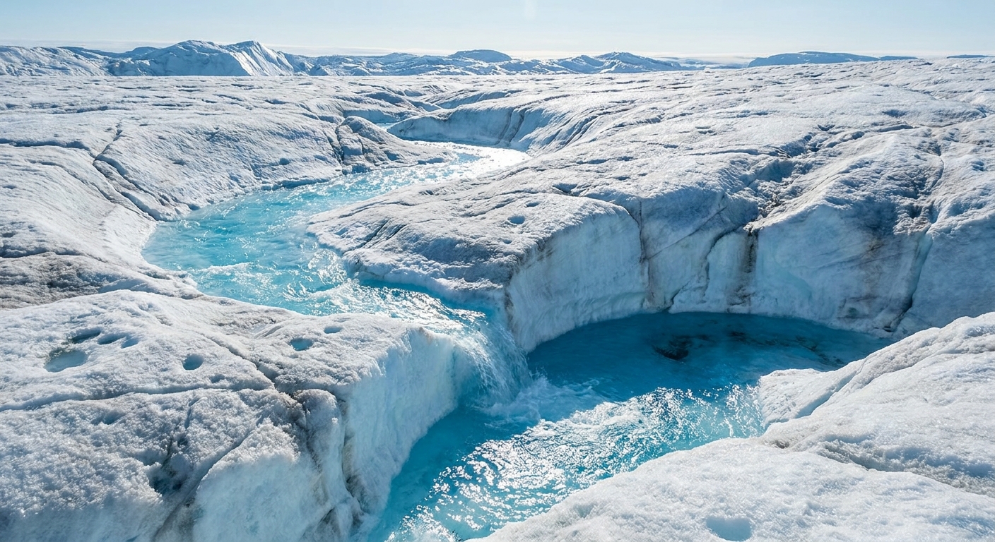
- Surface melting and runoff: warmer air temperatures can melt ice on top. If meltwater runs off into the ocean, sea level rises.
- Faster ice flow: ice streams and outlet glaciers can speed up, moving more ice from land into the sea.
- Calving and retreat: when grounded ice at the coast breaks into icebergs, it can be part of a retreat that transfers more land ice into the ocean. Calving from already-floating ice shelves does not directly raise sea level, but losing shelf ice can remove the “brake” that slows inland ice.
- Ocean-driven edge melt: warmer ocean water can erode ice shelves from below, reducing the buttressing that slows inland ice. Less buttressing can mean faster discharge of land ice.
One key idea is that ice sheets do not respond only to air temperature. Ocean heat, circulation near the coast, and the geometry of the bedrock beneath the ice all matter.
Why local sea level differs
Here is the part that confuses even careful news readers: the global average is not what you measure at a single pier.
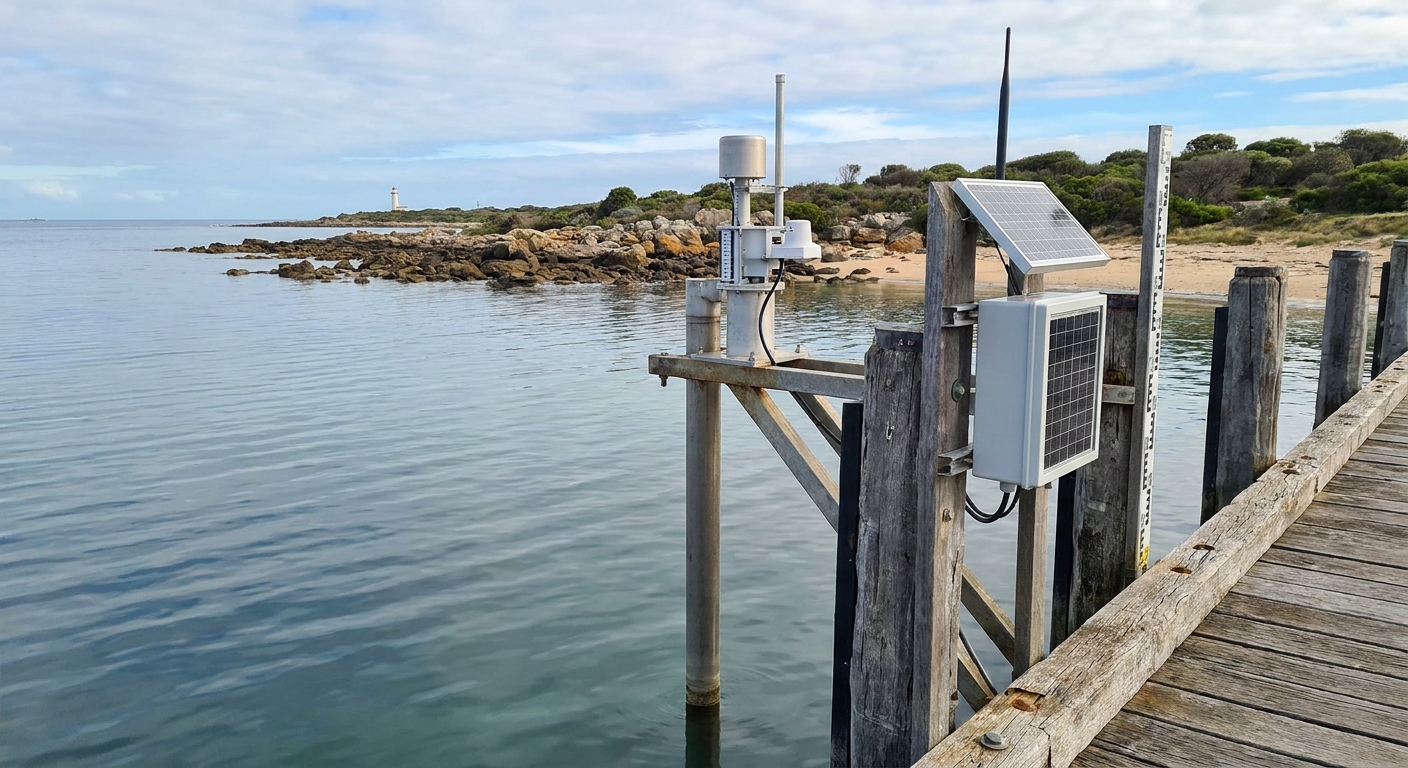
A tide gauge measures relative sea level, meaning the height of the sea relative to the land at that location. So local sea level trends combine ocean changes and land changes.
1) Land motion
Coastlines can move up or down for several reasons:
- Glacial isostatic adjustment: in places once covered by massive ice sheets, land can still be rebounding upward (or subsiding on the periphery) thousands of years after the ice melted.
- Subsidence from groundwater or oil and gas extraction: removing fluids can compact sediments, lowering the land surface. This can make local sea level rise look worse even if the ocean change is average.
- Tectonics: earthquakes and slow fault motion can lift or drop coastal land.
If the land is sinking, relative sea level rises faster. If the land is rising, the ocean can be rising globally while your local gauge shows a smaller increase.
2) Currents and winds
Ocean currents and prevailing winds can “tilt” the sea surface. Over seasons to decades, changes in circulation can shift where water is stored. A strengthening current can lower sea level along one coast and raise it elsewhere. Along the U.S. East Coast, for example, changes in the Gulf Stream and broader Atlantic circulation can influence regional sea level from year to year and decade to decade.
Warming also changes density. If a region’s ocean becomes warmer or fresher than average, the water can expand locally and raise sea level there more than the global mean.
3) Gravity and rotation
This one surprises people: large ice sheets exert gravitational pull on the ocean. When an ice sheet loses mass, its gravitational attraction weakens, and nearby ocean water can actually drop relative to more distant regions. Meanwhile, the added water and mass redistribution slightly shift Earth’s rotation and shape, further changing regional sea level patterns.
The result is that melt from Greenland and Antarctica does not raise every coastline equally. The global average still goes up, but the map of change has distinct fingerprints.
How sea level is measured
Sea level is one of those rare climate variables we can track with multiple independent tools that check each other’s work.
Tide gauges
Tide gauges provide some of our longest continuous records, in some harbors going back more than a century. They are excellent for local planning, but they measure relative sea level, so scientists correct for land motion when comparing sites.
Satellite altimetry
Since the early 1990s, radar altimeter satellites have measured sea surface height across most of the open ocean. This is a major reason modern sea level estimates are so robust: we can observe the global pattern, not just coastlines.
Ocean profiling
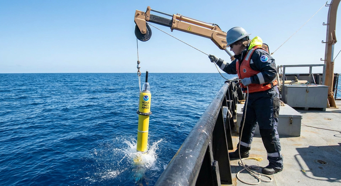
Networks of instruments, including Argo floats, measure temperature and salinity through the upper ocean and deeper layers. These data let scientists estimate how much sea level rise comes from expansion.
Ice and gravity satellites
Laser and radar measurements monitor ice surface height changes, while gravity-sensing satellites infer mass change from tiny shifts in Earth’s gravity field. Together they help quantify how much land ice is being lost and where.
By the numbers
One reason sea level science is so persuasive is that the broad outlines agree across many studies and measurement systems. Globally, sea level has risen by about 20 centimeters (8 inches) since 1900, and satellite measurements since the early 1990s show a rise of roughly 3 to 4 millimeters per year, with evidence that the rate has increased over time.
Common mix-ups
Sea level rise is a long-term trend, but the ocean has plenty of short-term ups and downs that can mask or amplify it.
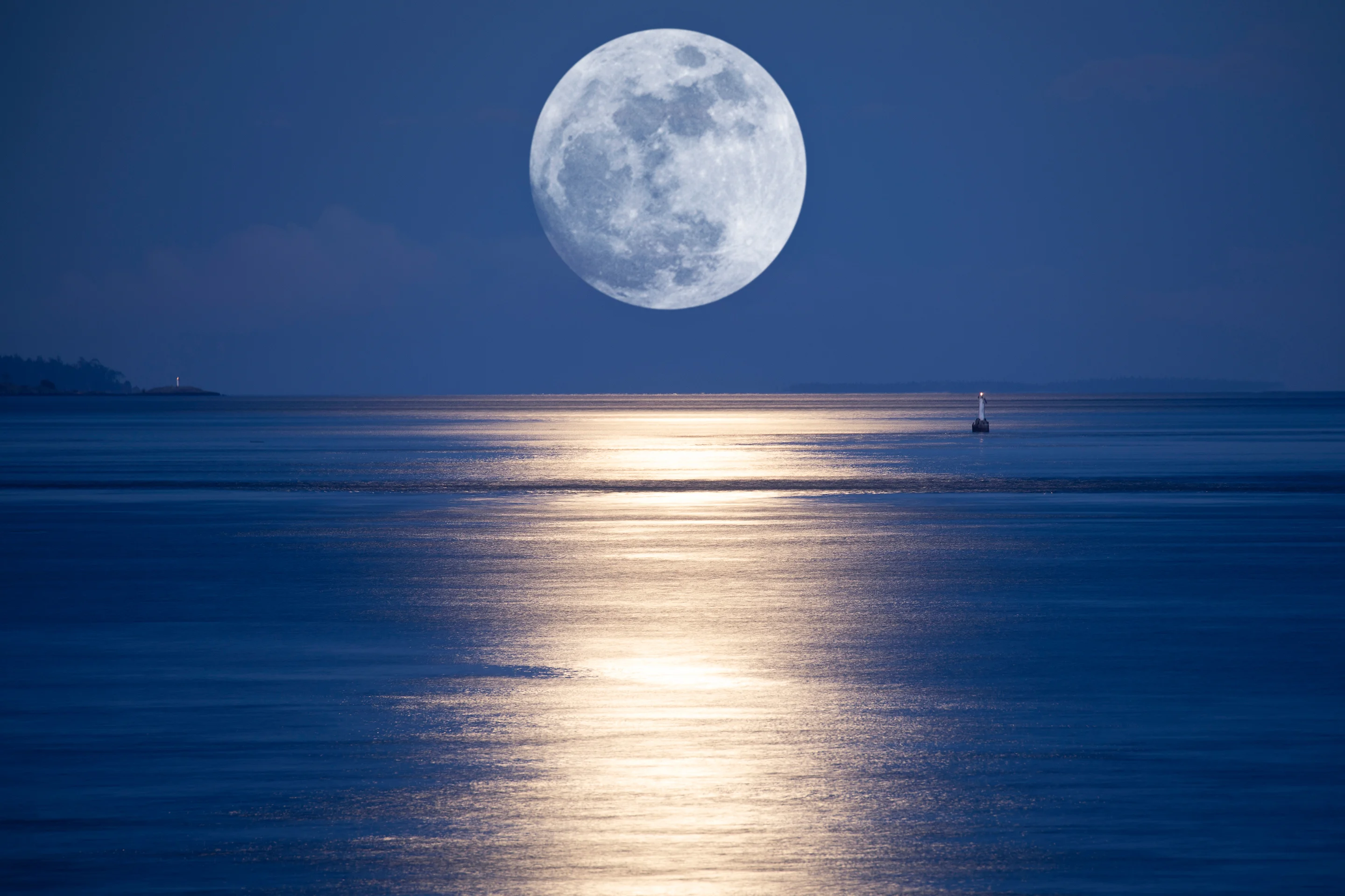
- Tides are the predictable daily rise and fall driven mainly by the Moon and Sun. They do not cause the multi-decade upward trend.
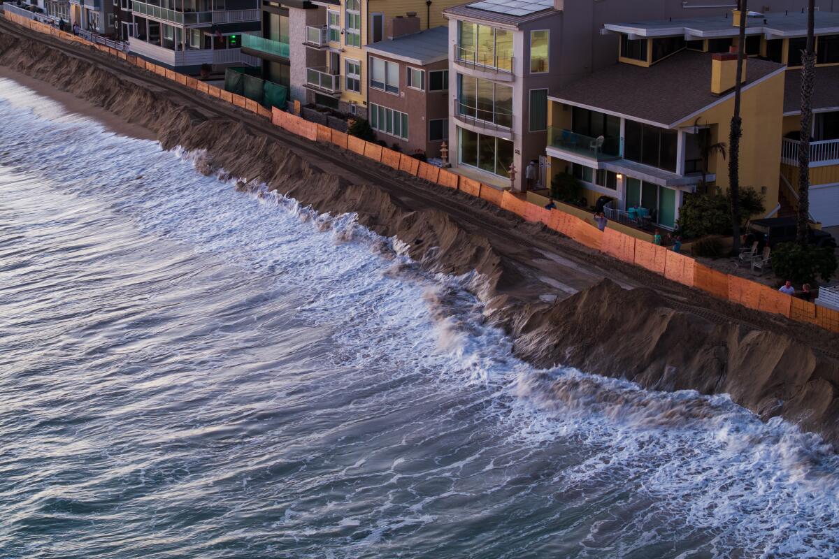
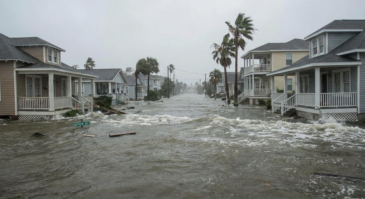
- Storm surge is wind and pressure pushing water toward shore during storms. It can cause dramatic, temporary flooding without changing the long-term baseline.
- Climate patterns like El Niño can temporarily shift sea level regionally by rearranging ocean heat and currents. These are pulses on top of the rising background.
A helpful mental model is a moving walkway at an airport. Sea level rise is the walkway steadily carrying you forward. Tides and storms are you taking a few steps forward or backward. Both matter for whether you bump into the wall, but only one is changing where “zero” is over decades.
FAQ
Is sea level rise the same everywhere?
No. The global average is rising, but local sea level depends on land motion, currents, winds, and how ice melt redistributes ocean water through gravity and Earth’s rotation.
Does melting Arctic sea ice raise sea level?
Not much directly, because it is already floating. The main contributors are land ice from glaciers and ice sheets plus thermal expansion. Sea ice loss can still matter indirectly by accelerating warming and influencing land-ice melt.
Why does my city’s tide gauge show more rise than the global number?
Often because the land is sinking (subsidence), or because regional ocean conditions are stacking water along your coastline. A local gauge is measuring relative sea level, not the global mean.
Can sea level ever fall locally while the planet warms?
Yes. If land is rising faster than the ocean, or if regional circulation shifts water away from your coast for a period of time, a local record can show slower rise or even temporary declines.
The bottom line
Sea level rise is not a mystery wave rolling in from nowhere. It is the combined, measurable outcome of a warming ocean that expands, land ice that melts and flows into the sea, and ice sheets that are losing mass in ways tied to both air and ocean conditions.
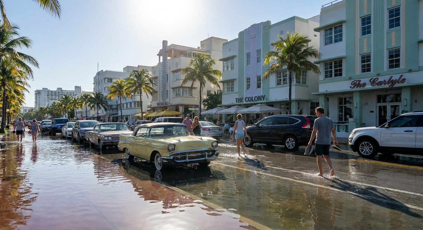
And because coastlines themselves move, and the ocean is not perfectly level from place to place, your local experience can diverge from the global average. For planning, that matters because a rising baseline turns ordinary high tides and routine storm surge into flooding events that used to require rarer conditions.
That is why sea level science always keeps two rulers on the desk: one for the whole planet, and one for the shoreline where people live.